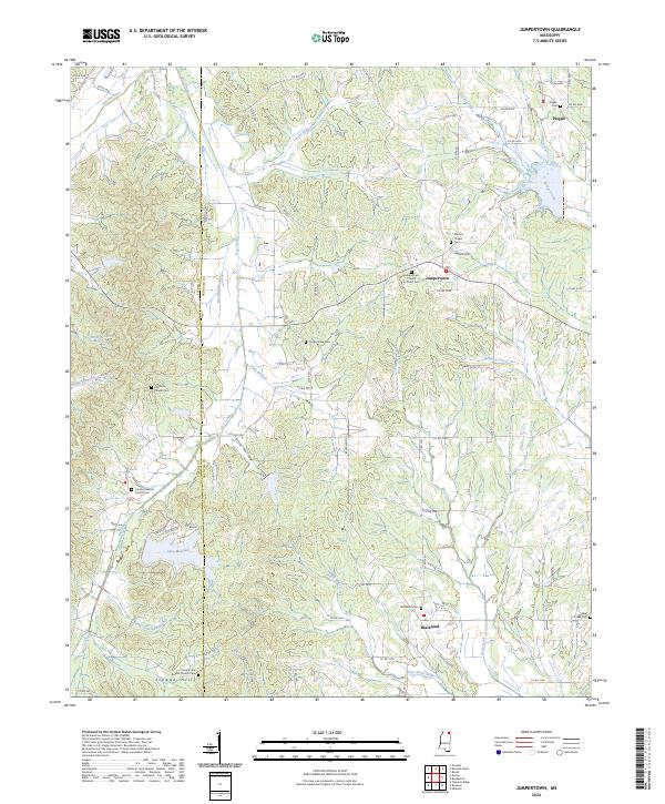
2024 Map of Jumpertown
USGS Topo · Published 2024About this map
Jumpertown sits at the heart of this landscape along the county line where Tippah Co and Prentiss Co meet. The terrain is defined by the high ground of the Tippah Hills to the southwest and the drainage basins of the Hatchie River and Wolf Creek. This area maintains a strong rural character, centered around small settlements like Pisgah and Blackland.
Find a feature on this map
95 named features on this map. Tap any name to fly to it.
Don’t see what you’re looking for? This feature index may not catch every label — zoom into the map to look around manually.
Map Details
Editions of this 2024 Jumpertown Map
This is the sole edition of this map. No revisions or reprints were ever made.
Other maps of this area

1921 · Booneville
USGS Topo · 1:48,000

1922 · Booneville
USGS Topo · 1:62,500

1950 · Corinth
USGS Topo · 1:62,500

1951 · Walnut
USGS Topo · 1:62,500

1955 · Ripley
USGS Topo · 1:62,500

1956 · Tupelo
USGS Topo · 1:250,000

1958 · Tupelo
USGS Topo · 1:250,000

1972 · Jumpertown
USGS Topo · 1:24,000
1973 · Wheeler
USGS Topo · 1:24,000
1973 · Baldwyn
USGS Topo · 1:24,000