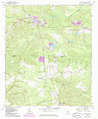
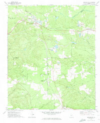
1971 Map of Junction City
USGS Topo · Published 1985About this map
Junction City serves as the focal point of this West Georgia landscape, situated at the intersection of the Seaboard Coast Line and Central of Georgia railroads. The area's economic foundations are clearly marked by numerous sandpits and claypits scattered across the terrain, particularly near Brownsand and Howard. These extractive industries, alongside the rail corridors, define the early 1970s development pattern between the counties of Talbot, Taylor, and Marion.
Find a feature on this map
30 named features on this map. Tap any name to fly to it.
Don’t see what you’re looking for? This feature index may not catch every label — zoom into the map to look around manually.
Map Details
Editions of this 1971 Junction City Map
2 editions found
Other maps of this area

1907 · Talbotton
USGS Topo · 1:125,000

1950 · Talbotton
USGS Topo · 1:24,000

1950 · Geneva
USGS Topo · 1:24,000

1950 · Buena Vista NE
USGS Topo · 1:24,000

1950 · Buena Vista
USGS Topo · 1:62,500

1950 · Talbotton
USGS Topo · 1:62,500

1955 · Talbotton
USGS Topo · 1:24,000

1955 · Buena Vista NE
USGS Topo · 1:24,000
1955 · Geneva
USGS Topo · 1:24,000
1955 · Talbotton
USGS Topo · 1:62,500