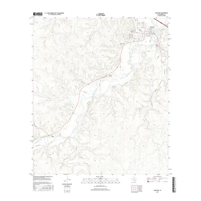
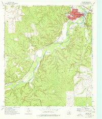
2016 Map of Junction
USGS Topo · Published 2016About this map
Junction serves as the focal point of this Kimble County survey, situated where the North Llano River and South Llano River converge. The town's grid is well-defined by several streets including Main St, Pecan St, and College St, with the State Highway 27 Bridge providing a key crossing point. Beyond the immediate town site, the landscape is shaped by the presence of Lake Junction and various topographical features such as Lovers Leap and Round Top.
Find a feature on this map
48 named features on this map. Tap any name to fly to it.
Don’t see what you’re looking for? This feature index may not catch every label — zoom into the map to look around manually.
Map Details
Editions of this 2016 Junction Map
This is the sole edition of this map. No revisions or reprints were ever made.
Other maps of this area

1926 · Segovia 2-c
USGS Topo · 1:48,000

1932 · Junction
USGS Topo · 1:62,500

1954 · Llano
USGS Topo · 1:250,000

1955 · Llano
USGS Topo · 1:250,000

1956 · Llano
USGS Topo · 1:250,000

1970 · Elm Slough
USGS Topo · 1:24,000
1970 · Stark Creek
USGS Topo · 1:24,000
1970 · Big Draw
USGS Topo · 1:24,000
1974 · Telegraph
USGS Topo · 1:24,000
1974 · Junction
USGS Topo · 1:24,000