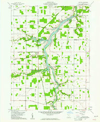
1960 Map of Junction
USGS Topo · Published 1961About this map
The confluence of the Auglaize River and various western tributaries anchors this early 1960s study of Paulding and Defiance Counties. The landscape is defined by its hydraulic history, most notably the path of the Miami and Erie Canal (Abandoned) and the Wabash and Erie Canal (Abandoned). These once-vital transport arteries meet near the settlement of Junction, which serves as a namesake for the region.
Find a feature on this map
46 named features on this map. Tap any name to fly to it.
Don’t see what you’re looking for? This feature index may not catch every label — zoom into the map to look around manually.
Map Details
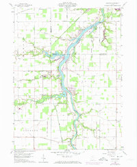
Editions of this 1960 Junction Map
2 editions found
Other maps of this area

1907 · Defiance
USGS Topo · 1:62,500

1909 · Defiance
USGS Topo · 1:62,500

1909 · Continental
USGS Topo · 1:62,500

1914 · Bryan
USGS Topo · 1:62,500

1914 · Paulding
USGS Topo · 1:62,500

1943 · Bryan
USGS Topo · 1:62,500

1944 · Paulding
USGS Topo · 1:62,500

1953 · Fort Wayne
USGS Topo · 1:250,000

1956 · Fort Wayne
USGS Topo · 1:250,000

1959 · Defiance East
USGS Topo · 1:24,000