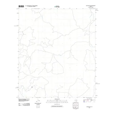
2010 Map of Junction SE
USGS Topo · Published 2010About this map
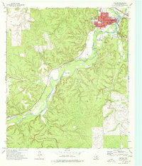
Chalk Creek winds through the central portion of this Kerr County landscape, illustrating the seasonal drainage patterns characteristic of the Edwards Plateau. The terrain is marked by significant topographical relief, defined by features such as Smith Hollow in the southwest and the winding courses of Dry Cedar Creek and Paint Creek. These watercourses serve as the primary landmarks in an area dominated by open range and ranch land. The 2010 data, compiled from U.S. Geological Survey and US Census Bureau sources, shows a sparse network of local roads and 4WD tracks that follow the natural contours of the hills, providing a clear view of land use and accessibility in this part of Texas at the beginning of the 21st century.
Find a feature on this map
4 named features on this map. Tap any name to fly to it.
Don’t see what you’re looking for? This feature index may not catch every label — zoom into the map to look around manually.
Map Details
Editions of this 2010 Junction SE Map
This is the sole edition of this map. No revisions or reprints were ever made.
Other maps of this area

1926 · Segovia 2-c
USGS Topo · 1:48,000

1932 · Junction
USGS Topo · 1:62,500

1954 · Llano
USGS Topo · 1:250,000

1955 · Llano
USGS Topo · 1:250,000

1956 · Llano
USGS Topo · 1:250,000

1963 · Y O Ranch
USGS Topo · 1:24,000
1971 · Bradford Creek
USGS Topo · 1:24,000
1971 · Horse Camp Waterhole
USGS Topo · 1:24,000
1974 · Telegraph
USGS Topo · 1:24,000
1974 · Junction
USGS Topo · 1:24,000