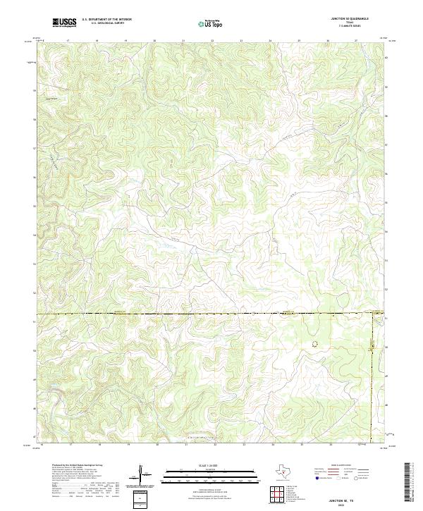
2022 Map of Junction SE
USGS Topo · Published 2022About this map
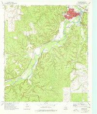
Boiling Springs serves as a critical water source in this arid landscape where Kimble, Edwards, and Kerr Counties converge. The terrain is deeply incised by drainages such as Chalk Cr, Paint Cr, and Dry Cedar Cr, reflecting the typical dissected plateau of the Texas Hill Country. Settlement is sparse, with the human footprint defined primarily by a network of ranch roads including Co Rd 112 and Co Rd 112x. The intersection of multiple county boundaries suggests a rugged hinterland where land ownership and survey lines follow the natural contours of features like Ford Canyon and Smith Hollow. This 2022 survey provides a clear view of the modern ranching landscape and its hydrological reliance on intermittent draws and isolated springs.
Find a feature on this map
14 named features on this map. Tap any name to fly to it.
Don’t see what you’re looking for? This feature index may not catch every label — zoom into the map to look around manually.
Map Details
Editions of this 2022 Junction SE Map
This is the sole edition of this map. No revisions or reprints were ever made.
Other maps of this area

1926 · Segovia 2-c
USGS Topo · 1:48,000

1932 · Junction
USGS Topo · 1:62,500

1954 · Llano
USGS Topo · 1:250,000

1955 · Llano
USGS Topo · 1:250,000

1956 · Llano
USGS Topo · 1:250,000

1963 · Y O Ranch
USGS Topo · 1:24,000
1971 · Bradford Creek
USGS Topo · 1:24,000
1971 · Horse Camp Waterhole
USGS Topo · 1:24,000
1974 · Telegraph
USGS Topo · 1:24,000
1974 · Junction
USGS Topo · 1:24,000