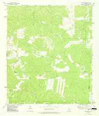
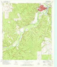
1974 Map of Junction SE
USGS Topo · Published 1977About this map
Chalk Creek and its many tributaries carve a complex drainage pattern across this section of the Edwards Plateau in the mid-1970s. This survey, based on 1973 aerial photography, illustrates the meeting point of three counties: the Kimble Co Edwards Co border runs through the central portion, while the Edwards Co Kerr Co boundary touches the southeastern corner. The landscape is primarily defined by its hydrology and terrain, with features like Dry Cedar Creek and Boiling Springs indicating the seasonal and spring-fed nature of the local water system.
Find a feature on this map
15 named features on this map. Tap any name to fly to it.
Don’t see what you’re looking for? This feature index may not catch every label — zoom into the map to look around manually.
Map Details
Editions of this 1974 Junction SE Map
This is the sole edition of this map. No revisions or reprints were ever made.
Other maps of this area

1926 · Segovia 2-c
USGS Topo · 1:48,000

1932 · Junction
USGS Topo · 1:62,500

1954 · Llano
USGS Topo · 1:250,000

1955 · Llano
USGS Topo · 1:250,000

1956 · Llano
USGS Topo · 1:250,000

1963 · Y O Ranch
USGS Topo · 1:24,000
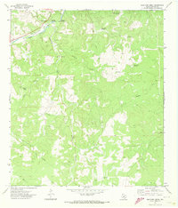
1971 · Bradford Creek
USGS Topo · 1:24,000
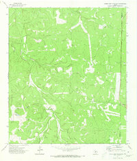
1971 · Horse Camp Waterhole
USGS Topo · 1:24,000
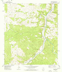
1974 · Telegraph
USGS Topo · 1:24,000
1974 · Junction
USGS Topo · 1:24,000