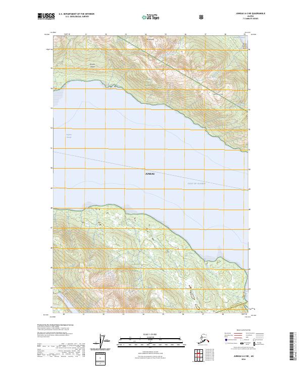
2024 Map of Juneau A-2 NE
USGS Topo · Published 2024About this map
Douglas Island and its imposing topography dominate the northern reaches of this coastal landscape, where the heights of Mt Bradley and McDonough Peak overlook the vital waters of the Gastineau Channel. This maritime environment is defined by the proximity of protected wilderness and the intricate drainage of numerous salmon-bearing streams. To the south, the Admiralty Island National Monument and Kootznoowoo Wilderness preserve a vast ecological corridor, bisected by the narrow waters of Oliver Inlet.
Find a feature on this map
23 named features on this map. Tap any name to fly to it.
Don’t see what you’re looking for? This feature index may not catch every label — zoom into the map to look around manually.
Map Details
Editions of this 2024 Juneau A-2 NE Map
This is the sole edition of this map. No revisions or reprints were ever made.
Other maps of this area

1947 · Juneau B-2
USGS Topo · 1:63,360

1948 · Juneau B-1
USGS Topo · 1:63,360

1949 · Juneau B-2
USGS Topo · 1:62,500

1951 · Juneau
USGS Topo · 1:250,000

1951 · Juneau A-2
USGS Topo · 1:63,360

1951 · Juneau A-1
USGS Topo · 1:63,360

1952 · Juneau B-1
USGS Topo · 1:63,360

1954 · Juneau A-1
USGS Topo · 1:63,360

1962 · Juneau B-2
USGS Topo · 1:63,360

1962 · Juneau
USGS Topo · 1:250,000