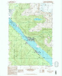
1986 Map of Juneau B-2 SE
USGS Topo · Published 1987About this map
Juneau and the neighboring community of Douglas sit positioned along the Gastineau Channel in this mid-1980s provisional study. The map captures the specialized infrastructure of the Alaskan capital, from the State Capitol and Seaplane Base to industrial remnants like the Treadwell (Site) on Douglas Island. The landscape is dominated by the steep ascent toward Blackerby Ridge and Mount Juneau, with the terrain marked by mining history at Silverbow Basin and the massive Glory Hole. Hydroelectric development is visible at the Salmon Creek Reservoir and the downstream Salmon Creek Powerplant. The shoreline shows active maritime centers such as Harris Harbor and Aurora Basin, alongside the protected Mendenhall Wetlands State Game Refuge to the northwest, illustrating the narrow corridor between the deep coastal waters and the wilderness of the Tongass National Forest.
Find a feature on this map
54 named features on this map. Tap any name to fly to it.
Don’t see what you’re looking for? This feature index may not catch every label — zoom into the map to look around manually.
Map Details
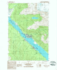
Editions of this 1986 Juneau B-2 SE Map
2 editions found
Other maps of this area

1947 · Juneau B-2
USGS Topo · 1:63,360

1948 · Juneau B-1
USGS Topo · 1:63,360

1949 · Juneau B-2
USGS Topo · 1:62,500

1951 · Juneau
USGS Topo · 1:250,000

1951 · Juneau A-2
USGS Topo · 1:63,360

1951 · Juneau A-1
USGS Topo · 1:63,360

1952 · Juneau B-1
USGS Topo · 1:63,360

1954 · Juneau A-1
USGS Topo · 1:63,360

1962 · Juneau B-2
USGS Topo · 1:63,360

1962 · Juneau
USGS Topo · 1:250,000