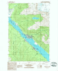
1986 Map of Juneau B-2 SE
USGS Topo · Published 1987About this map
Juneau sits at the base of Mount Juneau along the narrow Gastineau Channel in this mid-1980s provisional survey. The urban core is defined by the State Capitol and nearby waterfront facilities like the Aurora Basin and Harris Harbor. Across the water, Douglas Island shows the twin settlements of Douglas and West Juneau, while the southern shore preserves the industrial legacy of the Treadwell (Site) and its massive Treadwell Glory Hole.
Find a feature on this map
46 named features on this map. Tap any name to fly to it.
Don’t see what you’re looking for? This feature index may not catch every label — zoom into the map to look around manually.
Map Details
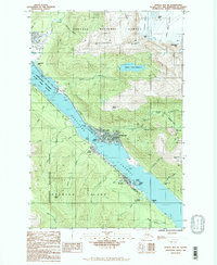
Editions of this 1986 Juneau B-2 SE Map
2 editions found
Other maps of this area

1947 · Juneau B-2
USGS Topo · 1:63,360

1948 · Juneau B-1
USGS Topo · 1:63,360

1949 · Juneau B-2
USGS Topo · 1:62,500

1951 · Juneau
USGS Topo · 1:250,000

1951 · Juneau A-2
USGS Topo · 1:63,360

1951 · Juneau A-1
USGS Topo · 1:63,360

1952 · Juneau B-1
USGS Topo · 1:63,360

1954 · Juneau A-1
USGS Topo · 1:63,360

1962 · Juneau B-2
USGS Topo · 1:63,360

1962 · Juneau
USGS Topo · 1:250,000