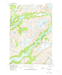
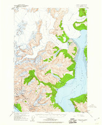
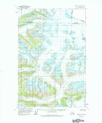
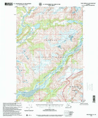
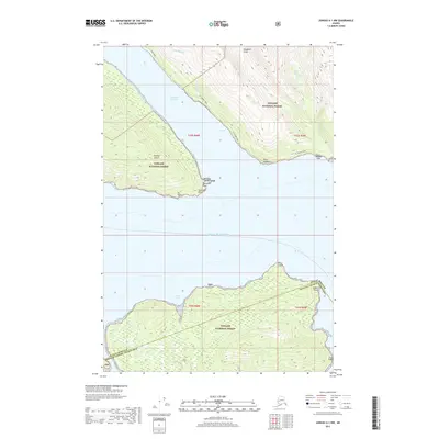
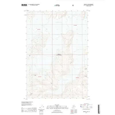
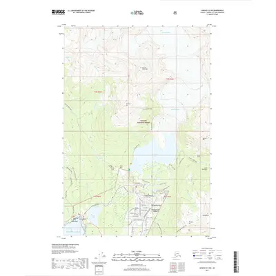
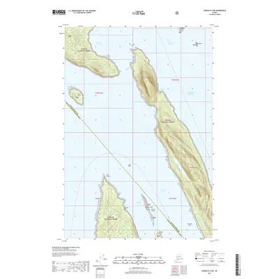
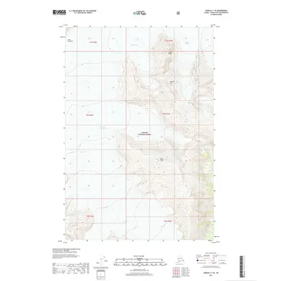
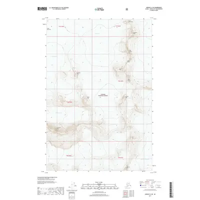
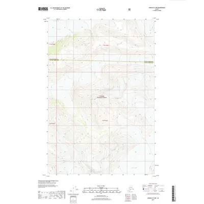
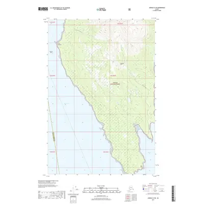
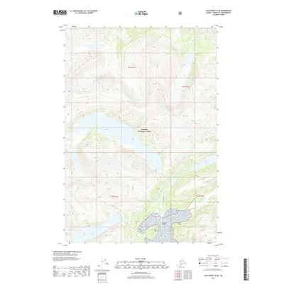
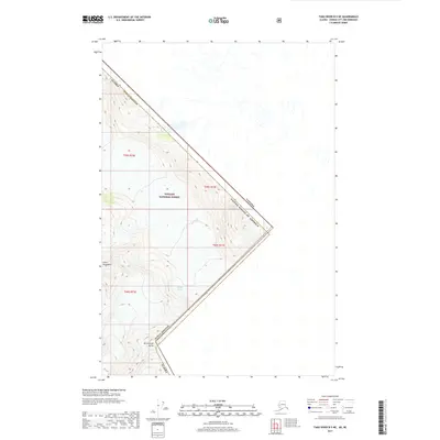
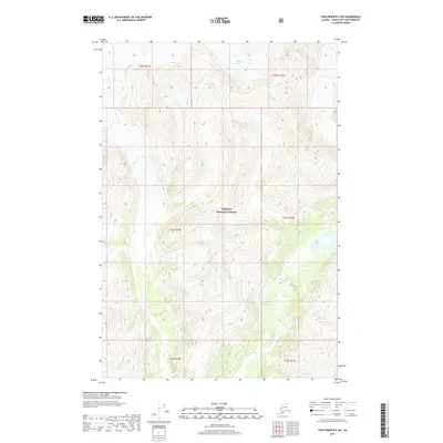
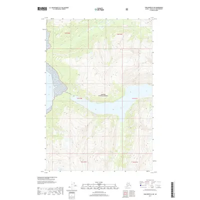
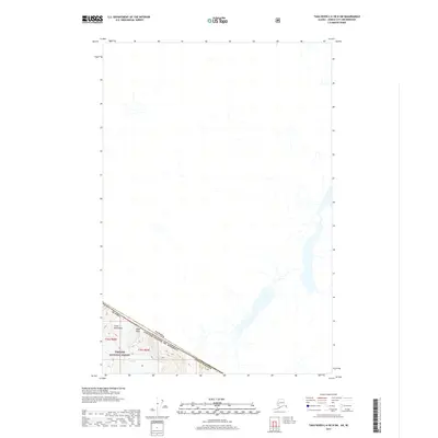
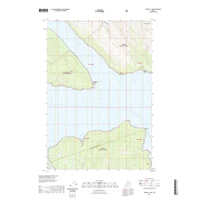
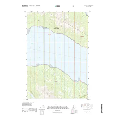
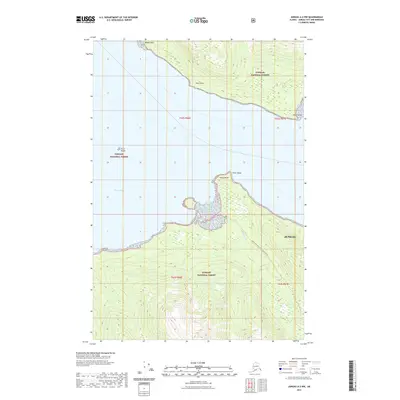
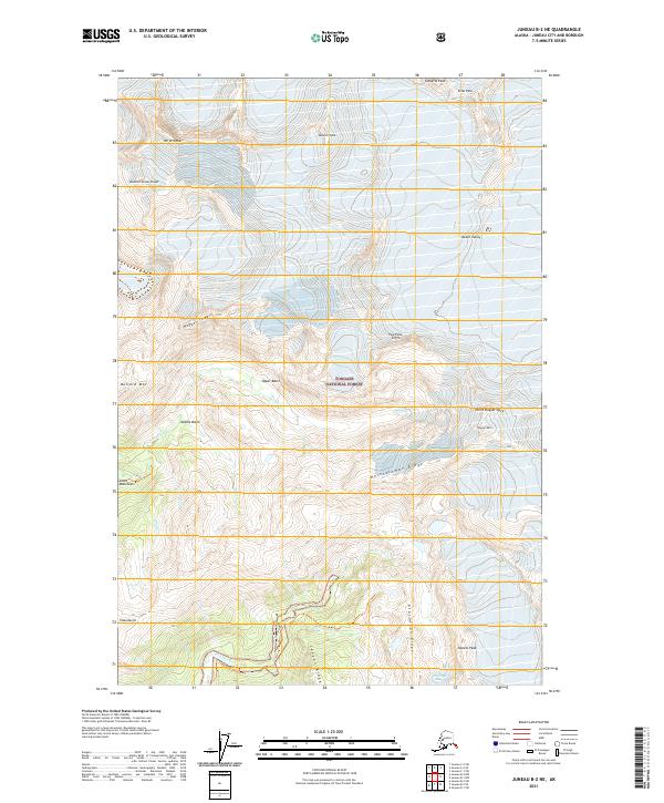
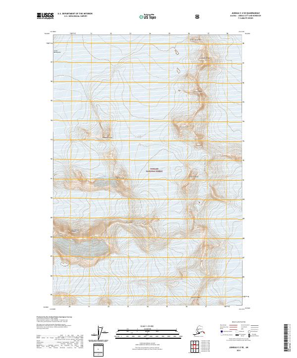
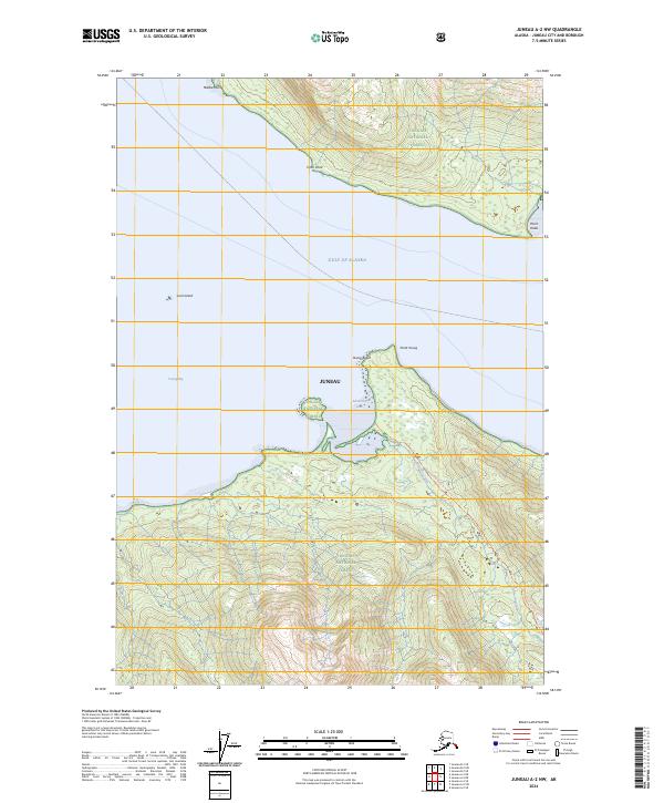
1986 Map of Juneau B-2 SW
USGS Topo · Published 1987About this map
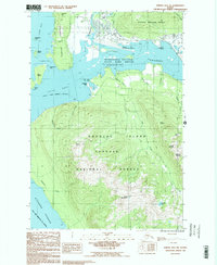
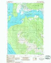
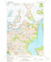
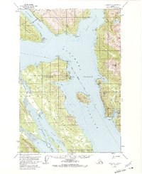
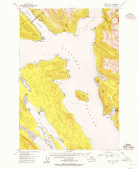
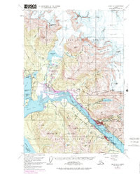
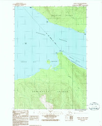
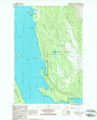
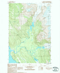
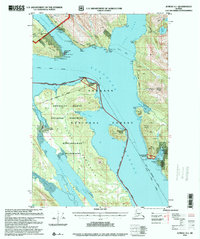
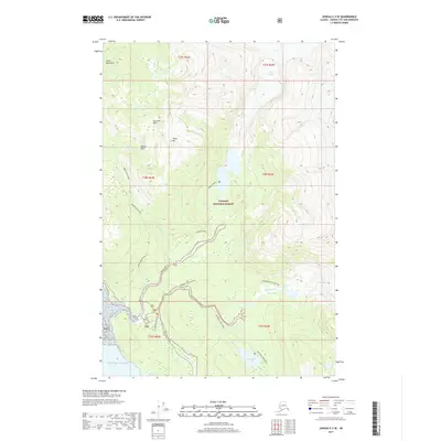
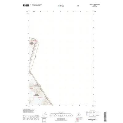
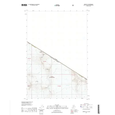
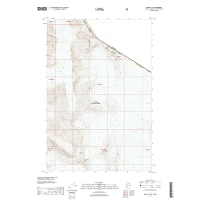
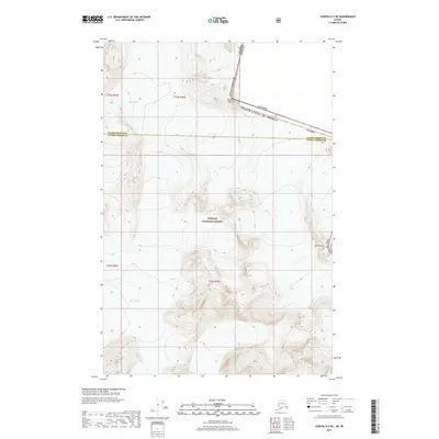
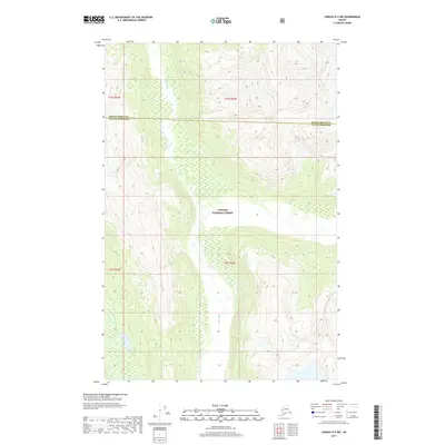
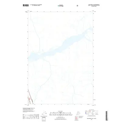
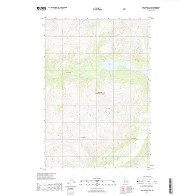
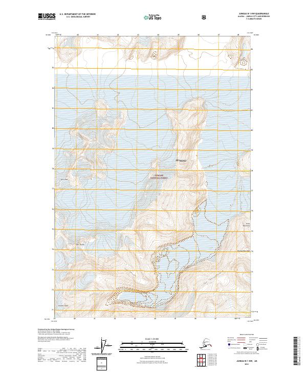
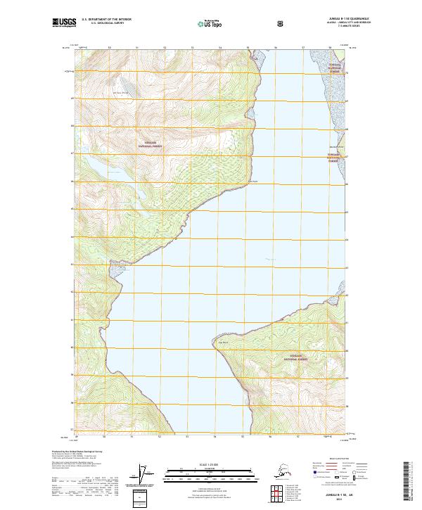
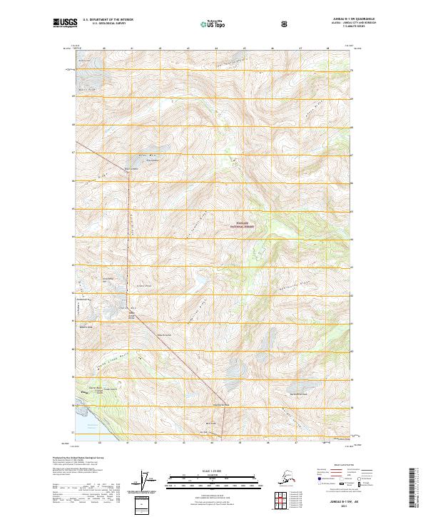
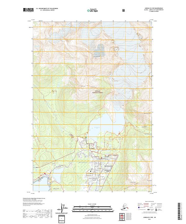
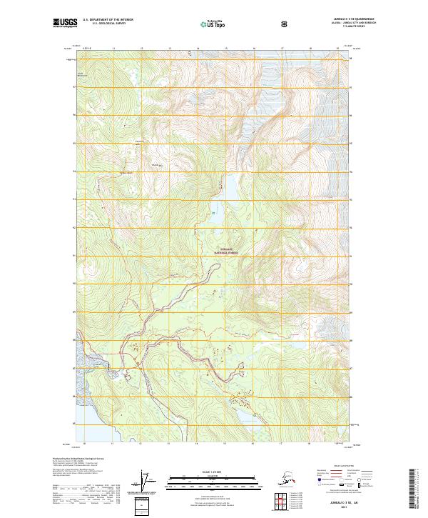
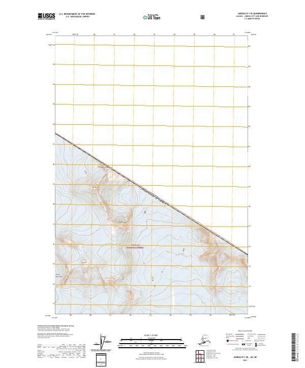
Gastineau Channel and the Mendenhall Wetlands State Game Refuge anchor this mid-1980s landscape, illustrating the complex coastal geography where the Mendenhall River meets the sea. The map captures a period of established boundaries for the City and Borough of Juneau, showing the intersection of maritime passage and the mountainous interior of Douglas Island.
Find a feature on this map
37 named features on this map. Tap any name to fly to it.
Don’t see what you’re looking for? This feature index may not catch every label — zoom into the map to look around manually.
Map Details
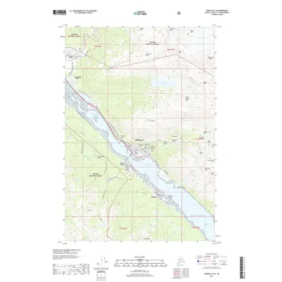
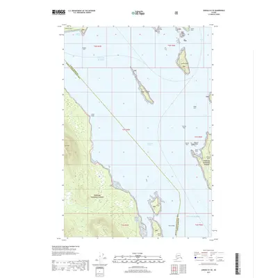
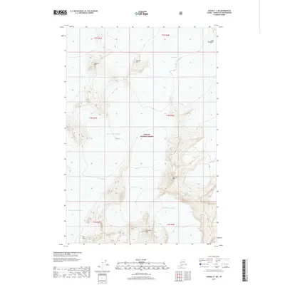
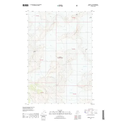
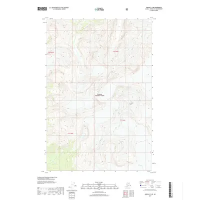
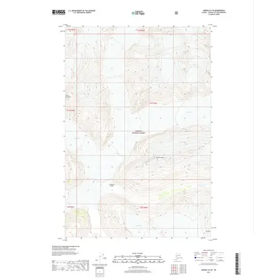
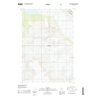
Editions of this 1986 Juneau B-2 SW Map
2 editions found
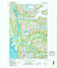
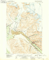
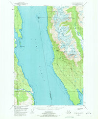
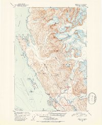
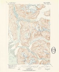
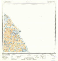
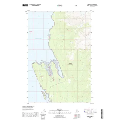
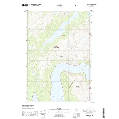
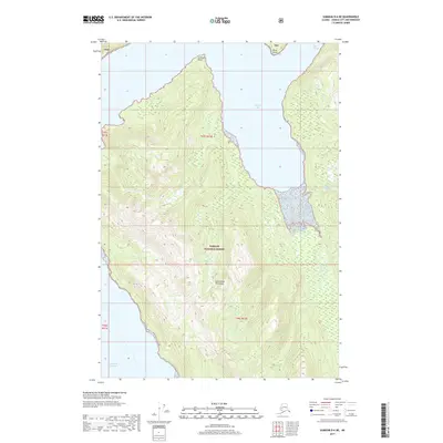
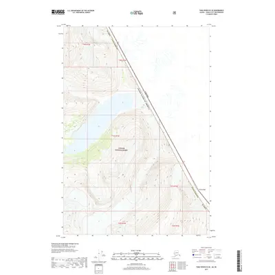
Historical Maps of Mendenhall Valley Through Time
201 maps found
1947 Juneau B-2
Juneau Borough, AK
1947 Juneau B-3
Juneau Borough, AK
1948 Juneau B-1
Juneau Borough, AK
1948 Juneau D-3
Juneau Borough, AK

1948 Sumdum D-6
Juneau Borough, AK
1949 Juneau B-2
Juneau Borough, AK

1949 Juneau B-3
Juneau Borough, AK
1949 Juneau D-3
Juneau Borough, AK
1951 Juneau A-1
Juneau Borough, AK
1951 Juneau A-2
Juneau Borough, AK
1951 Juneau C-3
Juneau Borough, AK
1951 Sumdum D-6
Juneau Borough, AK
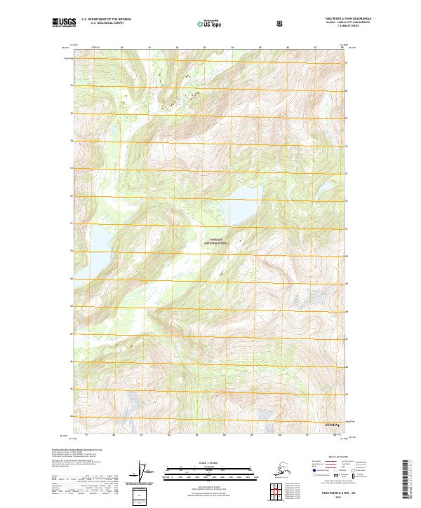
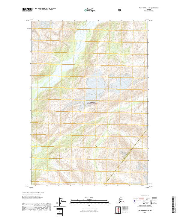
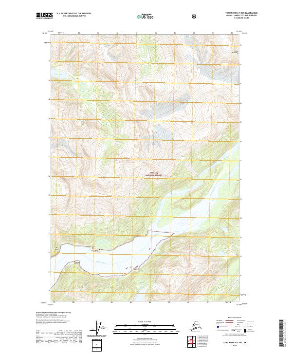
1951 Taku River A-5
Juneau Borough, AK
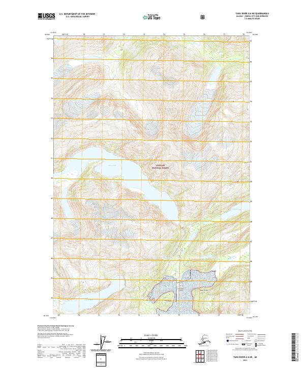
1951 Taku River A-6
Juneau Borough, AK
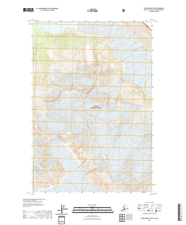
1951 Taku River B-5
Juneau Borough, AK
1951 Taku River B-6
Juneau Borough, AK
1952 Juneau B-1
Juneau Borough, AK
1952 Juneau C-3
Juneau Borough, AK
1953 Juneau D-3
Juneau Borough, AK
1953 Taku River
Juneau Borough, AK
1954 Juneau A-1
Juneau Borough, AK
1960 Juneau C-1
Juneau Borough, AK
1960 Juneau C-2
Juneau Borough, AK
1960 Juneau D-1
Juneau Borough, AK
1960 Juneau D-2
Juneau Borough, AK
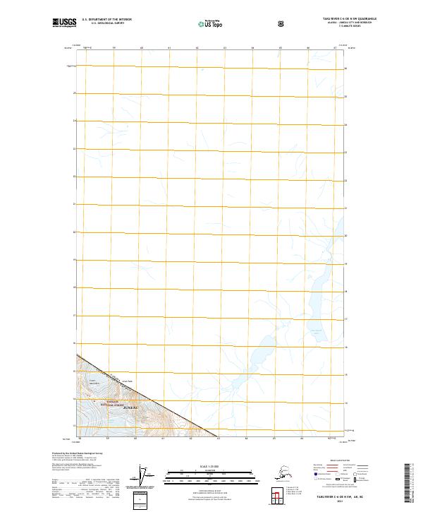
1960 Taku River C-5
Juneau Borough, AK
1960 Taku River C-6
Juneau Borough, AK
1960 Taku River
Juneau Borough, AK
1962 Juneau B-2
Juneau Borough, AK
1962 Juneau B-3
Juneau Borough, AK
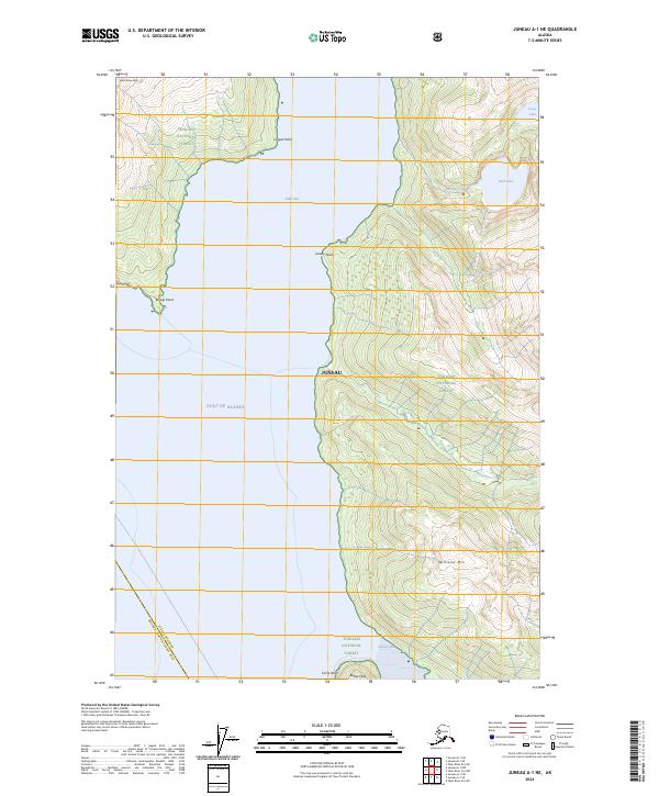
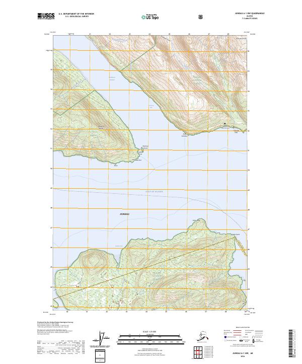
1986 Juneau A-1 NW
Juneau Borough, AK
1986 Juneau A-2 NE
Juneau Borough, AK
1986 Juneau A-2 NW
Juneau Borough, AK
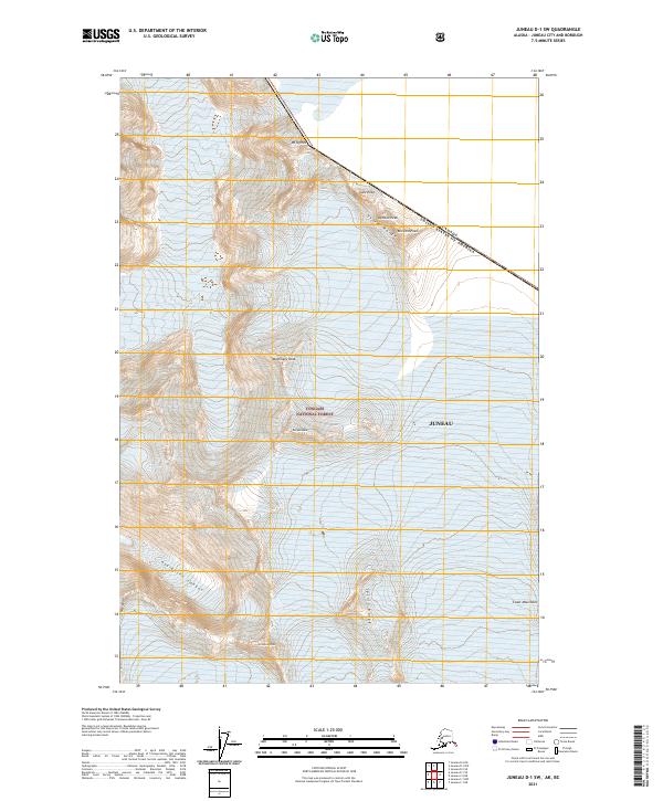
1986 Juneau B-1 SW
Juneau Borough, AK
1986 Juneau B-2 NW
Juneau Borough, AK
1986 Juneau B-2 SE
Juneau Borough, AK
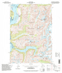
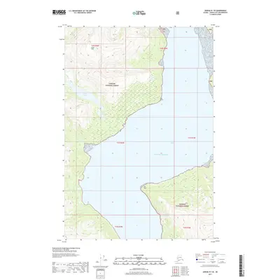
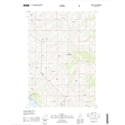
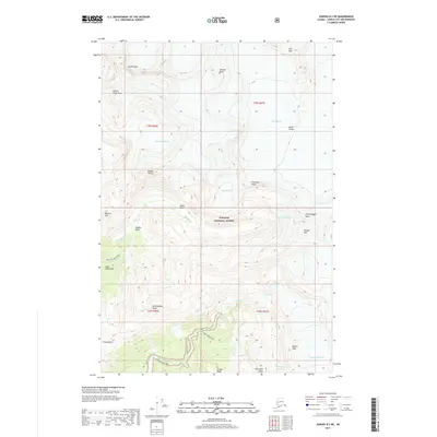
1986 Juneau B-2 SW
Juneau Borough, AK
1986 Juneau B-3 NE
Juneau Borough, AK
1986 Juneau B-3 NW
Juneau Borough, AK
1986 Juneau B-3 SE
Juneau Borough, AK
1986 Juneau C-3 NW
Juneau Borough, AK
1986 Juneau C-3 SE
Juneau Borough, AK
1986 Juneau C-3 SW
Juneau Borough, AK
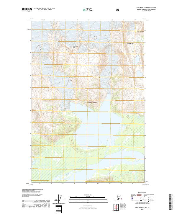
1994 Taku River B-6
Juneau Borough, AK
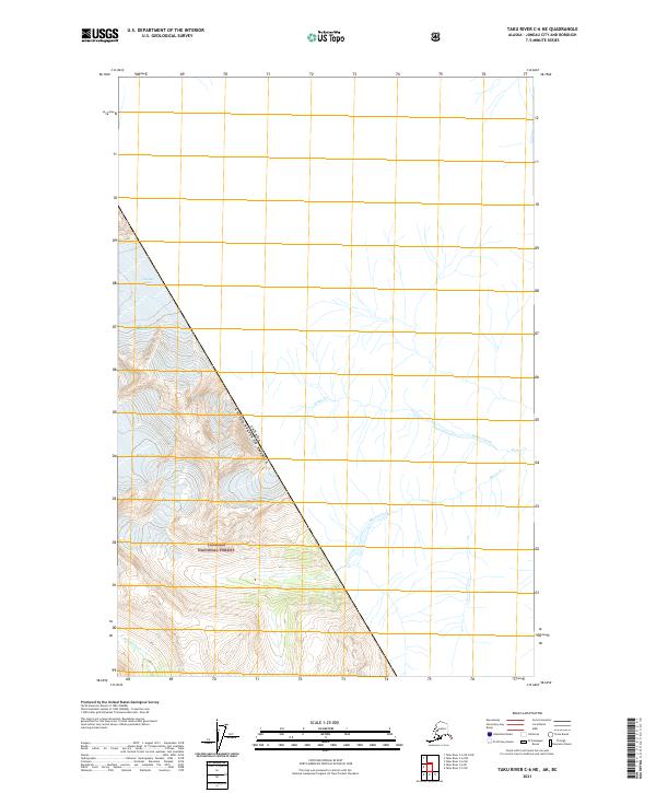
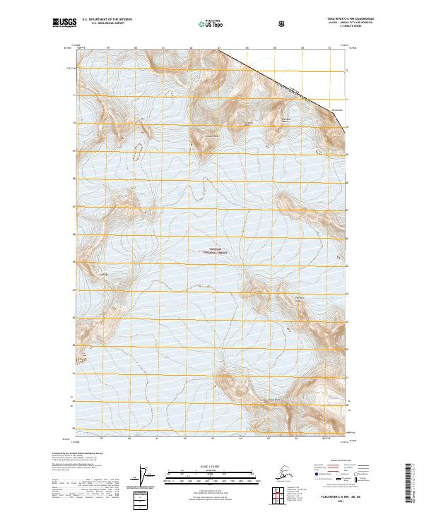
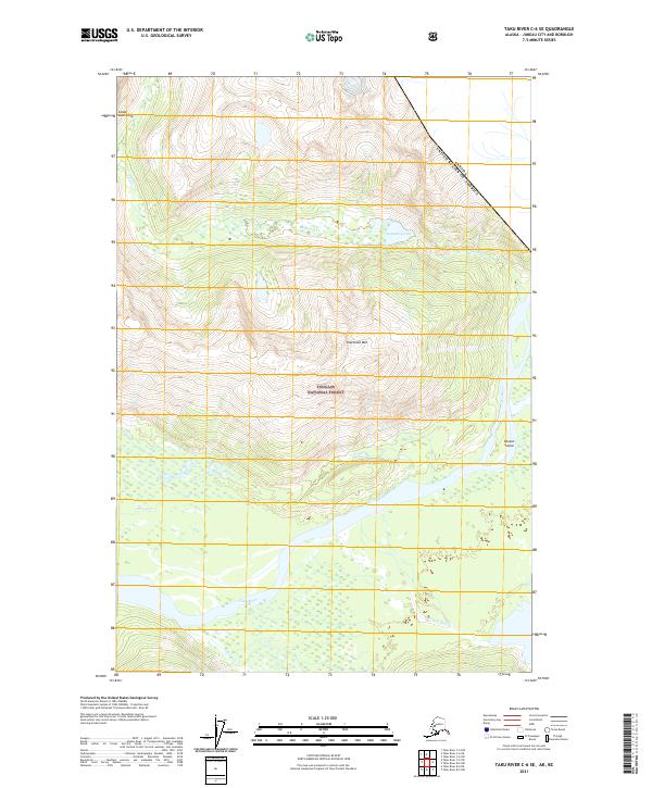
1995 Taku River C-6
Juneau Borough, AK
1996 Juneau A-1
Juneau Borough, AK
1996 Juneau A-2
Juneau Borough, AK
1996 Juneau B-3
Juneau Borough, AK
1996 Juneau C-3
Juneau Borough, AK
1996 Taku River A-5
Juneau Borough, AK
1997 Juneau B-1
Juneau Borough, AK
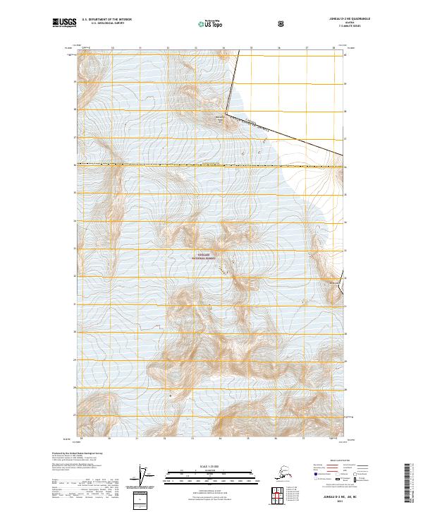
1997 Juneau D-2
Juneau Borough, AK
2017 Juneau A-1 NE
Juneau Borough, AK
2017 Juneau A-1 NW
Juneau Borough, AK
2017 Juneau A-2 NE
Juneau Borough, AK
2017 Juneau A-2 NW
Juneau Borough, AK
2017 Juneau B-1 NE
Juneau Borough, AK
2017 Juneau B-1 NW
Juneau Borough, AK
2017 Juneau B-1 SE
Juneau Borough, AK
2017 Juneau B-1 SW
Juneau Borough, AK
2017 Juneau B-2 NE
Juneau Borough, AK
2017 Juneau B-2 NW
Juneau Borough, AK
2017 Juneau B-2 SE
Juneau Borough, AK
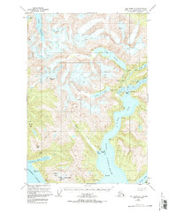
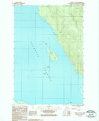
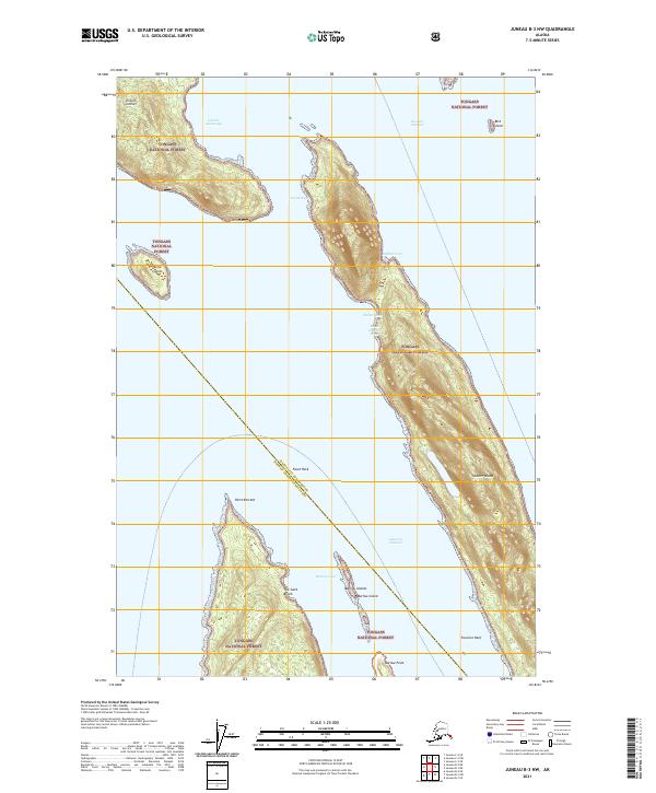
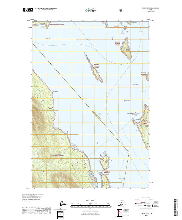
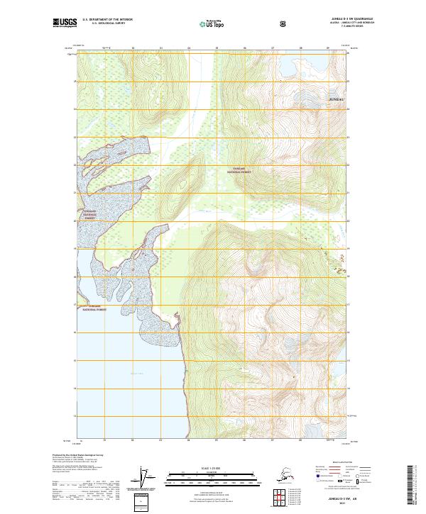
2017 Juneau B-2 SW
Juneau Borough, AK
2017 Juneau B-3 NE
Juneau Borough, AK
2017 Juneau B-3 NW
Juneau Borough, AK
2017 Juneau B-3 SE
Juneau Borough, AK
2017 Juneau C-1 NE
Juneau Borough, AK
2017 Juneau C-1 NW
Juneau Borough, AK
2017 Juneau C-1 SE
Juneau Borough, AK
2017 Juneau C-1 SW
Juneau Borough, AK
2017 Juneau C-2 NE
Juneau Borough, AK
2017 Juneau C-2 NW
Juneau Borough, AK
2017 Juneau C-2 SE
Juneau Borough, AK
2017 Juneau C-2 SW
Juneau Borough, AK
2017 Juneau C-3 NE
Juneau Borough, AK
2017 Juneau C-3 NW
Juneau Borough, AK
2017 Juneau C-3 SE
Juneau Borough, AK
2017 Juneau C-3 SW
Juneau Borough, AK
2017 Juneau C-4 NE
Juneau Borough, AK
2017 Juneau C-4 SE
Juneau Borough, AK
2017 Juneau D-1 NW
Juneau Borough, AK
2017 Juneau D-1 SE
Juneau Borough, AK
2017 Juneau D-1 SW
Juneau Borough, AK
2017 Juneau D-2 NE
Juneau Borough, AK
2017 Juneau D-2 NW
Juneau Borough, AK
2017 Juneau D-2 SE
Juneau Borough, AK
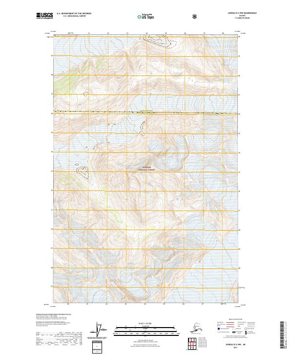
2017 Juneau D-2 SW
Juneau Borough, AK
2017 Juneau D-3 NE
Juneau Borough, AK
2017 Juneau D-3 NW
Juneau Borough, AK
2017 Juneau D-3 SE
Juneau Borough, AK
2017 Juneau D-3 SW
Juneau Borough, AK
2017 Juneau D-4 NE
Juneau Borough, AK
2017 Juneau D-4 SE
Juneau Borough, AK
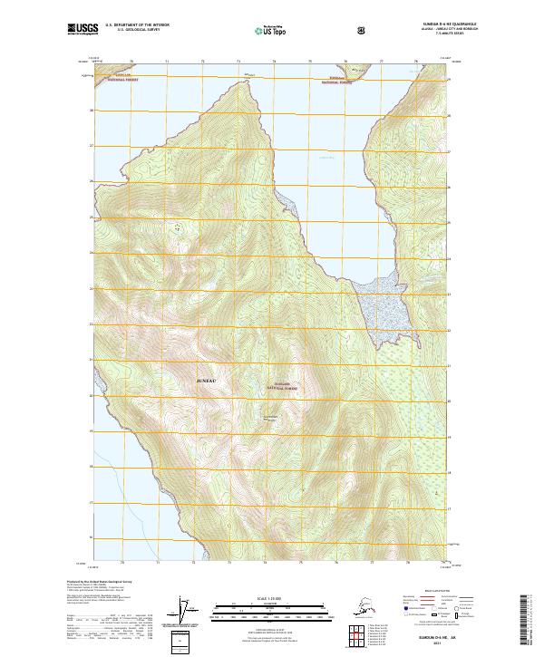
2017 Sumdum D-5 NW
Juneau Borough, AK
2017 Sumdum D-6 NE
Juneau Borough, AK
2017 Sumdum D-6 NW
Juneau Borough, AK
2017 Taku River A-4 NE
Juneau Borough, AK
2017 Taku River A-4 NW
Juneau Borough, AK
2017 Taku River A-4 SE
Juneau Borough, AK
2017 Taku River A-4 SW
Juneau Borough, AK
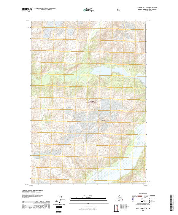
2017 Taku River A-5 NE
Juneau Borough, AK
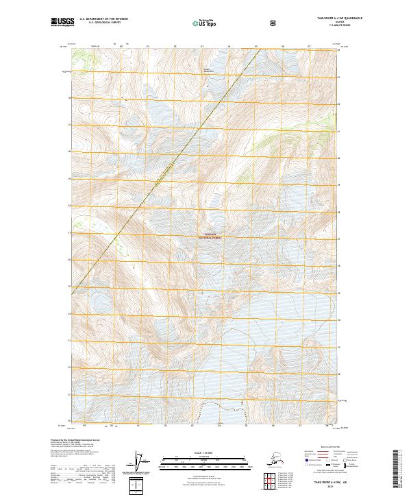
2017 Taku River A-5 NW
Juneau Borough, AK
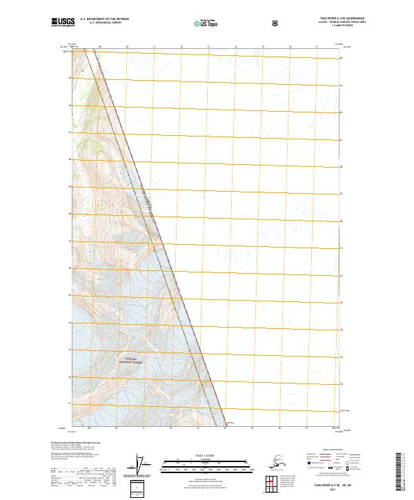
2017 Taku River A-5 SE
Juneau Borough, AK
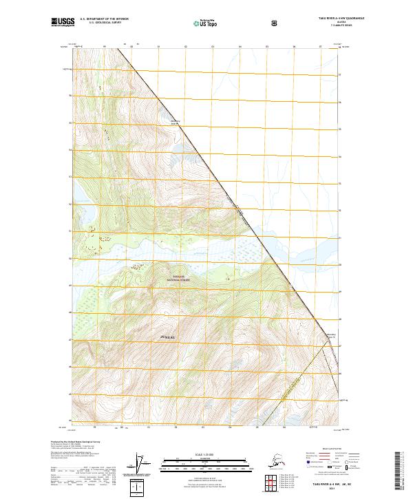
2017 Taku River A-5 SW
Juneau Borough, AK
2017 Taku River A-6 NE
Juneau Borough, AK
2017 Taku River A-6 NW
Juneau Borough, AK
2017 Taku River A-6 SE
Juneau Borough, AK
2017 Taku River A-6 SW
Juneau Borough, AK
2017 Taku River B-5 NE
Juneau Borough, AK
2017 Taku River B-5 NW
Juneau Borough, AK
2017 Taku River B-5 OE E SW
Juneau Borough, AK
2017 Taku River B-5 SE
Juneau Borough, AK
2017 Taku River B-5 SW
Juneau Borough, AK
2017 Taku River B-6 NE
Juneau Borough, AK
2017 Taku River B-6 NW
Juneau Borough, AK
2017 Taku River B-6 SE
Juneau Borough, AK
2017 Taku River B-6 SW
Juneau Borough, AK
2017 Taku River C-5 SW
Juneau Borough, AK
2017 Taku River C-6 NE
Juneau Borough, AK
2017 Taku River C-6 NW
Juneau Borough, AK
2017 Taku River C-6 OE N SW
Juneau Borough, AK
2017 Taku River C-6 SE
Juneau Borough, AK
2017 Taku River C-6 SW
Juneau Borough, AK
2021 Juneau A-1 NE
Juneau Borough, AK
2021 Juneau A-1 NW
Juneau Borough, AK
2021 Juneau A-2 NE
Juneau Borough, AK
2021 Juneau A-2 NW
Juneau Borough, AK
2021 Juneau B-1 NE
Juneau Borough, AK
2021 Juneau B-1 NW
Juneau Borough, AK
2021 Juneau B-1 SE
Juneau Borough, AK
2021 Juneau B-1 SW
Juneau Borough, AK
2021 Juneau B-2 NE
Juneau Borough, AK
2021 Juneau B-2 NW
Juneau Borough, AK
2021 Juneau B-2 SE
Juneau Borough, AK
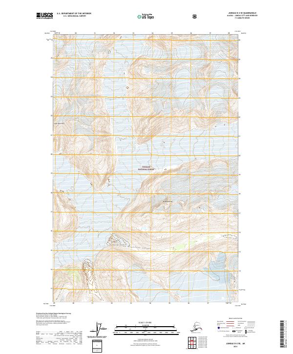
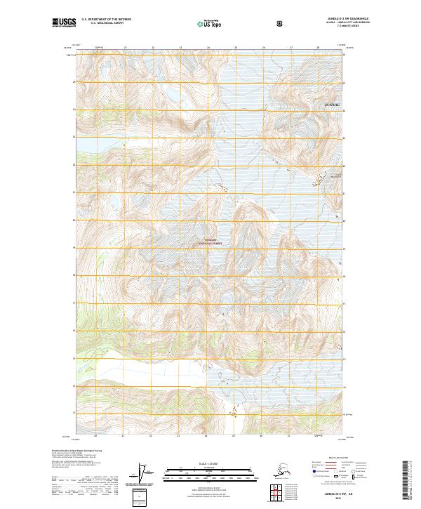
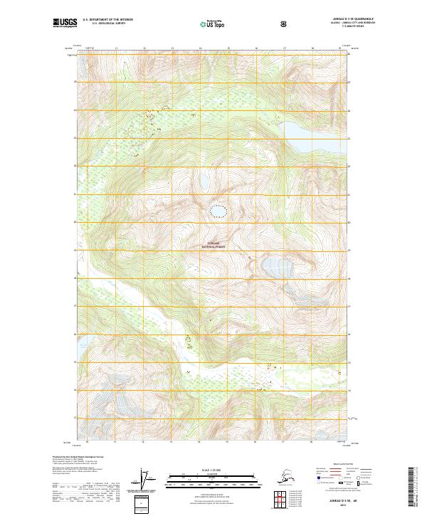
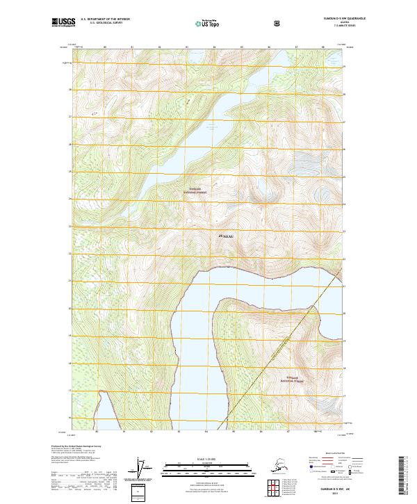
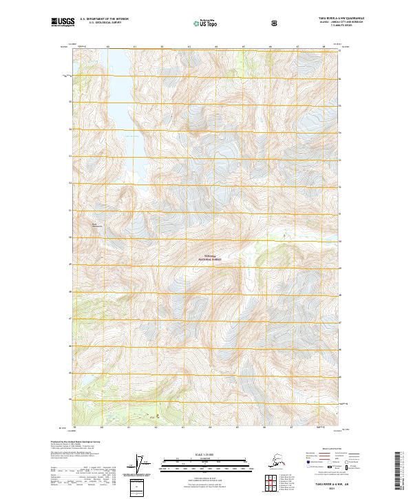
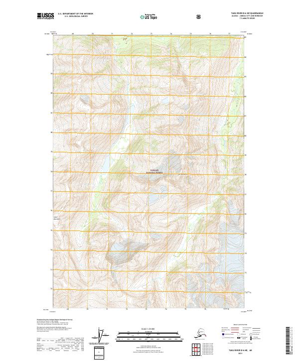
2021 Juneau B-2 SW
Juneau Borough, AK
2021 Juneau B-3 NE
Juneau Borough, AK
2021 Juneau B-3 NW
Juneau Borough, AK
2021 Juneau B-3 SE
Juneau Borough, AK
2021 Juneau C-1 NE
Juneau Borough, AK
2021 Juneau C-1 NW
Juneau Borough, AK
2021 Juneau C-1 SE
Juneau Borough, AK
2021 Juneau C-1 SW
Juneau Borough, AK
2021 Juneau C-2 NE
Juneau Borough, AK
2021 Juneau C-2 NW
Juneau Borough, AK
2021 Juneau C-2 SE
Juneau Borough, AK
2021 Juneau C-2 SW
Juneau Borough, AK
2021 Juneau C-3 NE
Juneau Borough, AK
2021 Juneau C-3 NW
Juneau Borough, AK
2021 Juneau C-3 SE
Juneau Borough, AK
2021 Juneau C-3 SW
Juneau Borough, AK
2021 Juneau C-4 NE
Juneau Borough, AK
2021 Juneau C-4 SE
Juneau Borough, AK

2021 Juneau D-1 NW
Juneau Borough, AK
2021 Juneau D-1 SE
Juneau Borough, AK
2021 Juneau D-1 SW
Juneau Borough, AK
2021 Juneau D-2 NE
Juneau Borough, AK
2021 Juneau D-2 NW
Juneau Borough, AK
2021 Juneau D-2 SE
Juneau Borough, AK
2021 Juneau D-2 SW
Juneau Borough, AK
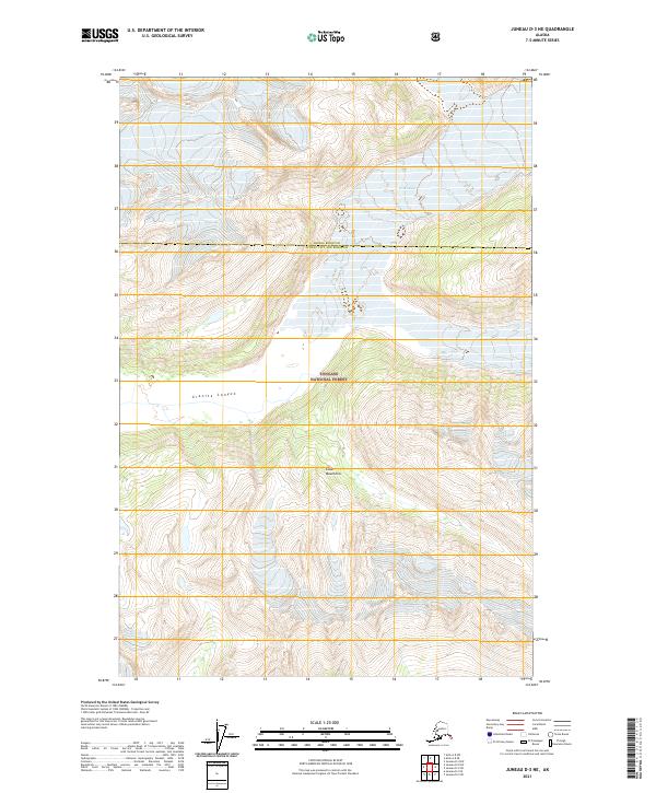
2021 Juneau D-3 NE
Juneau Borough, AK
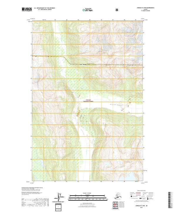
2021 Juneau D-3 NW
Juneau Borough, AK
2021 Juneau D-3 SE
Juneau Borough, AK
2021 Juneau D-3 SW
Juneau Borough, AK
2021 Juneau D-4 NE
Juneau Borough, AK
2021 Juneau D-4 SE
Juneau Borough, AK
2021 Sumdum D-5 NW
Juneau Borough, AK
2021 Sumdum D-6 NE
Juneau Borough, AK
2021 Sumdum D-6 NW
Juneau Borough, AK
2021 Taku River A-4 NE
Juneau Borough, AK
2021 Taku River A-4 NW
Juneau Borough, AK
2021 Taku River A-4 SE
Juneau Borough, AK
2021 Taku River A-4 SW
Juneau Borough, AK
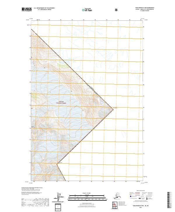
2021 Taku River A-5 NE
Juneau Borough, AK
2021 Taku River A-5 NW
Juneau Borough, AK
2021 Taku River A-5 SE
Juneau Borough, AK
2021 Taku River A-5 SW
Juneau Borough, AK
2021 Taku River A-6 NE
Juneau Borough, AK
2021 Taku River A-6 NW
Juneau Borough, AK
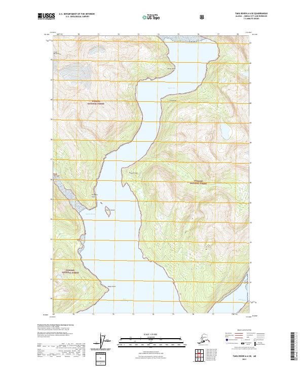
2021 Taku River A-6 SE
Juneau Borough, AK
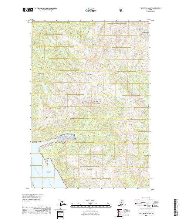
2021 Taku River A-6 SW
Juneau Borough, AK
2021 Taku River B-5 NE
Juneau Borough, AK
2021 Taku River B-5 NW
Juneau Borough, AK
2021 Taku River B-5 OE E SW
Juneau Borough, AK
2021 Taku River B-5 SE
Juneau Borough, AK
2021 Taku River B-5 SW
Juneau Borough, AK
2021 Taku River B-6 NE
Juneau Borough, AK
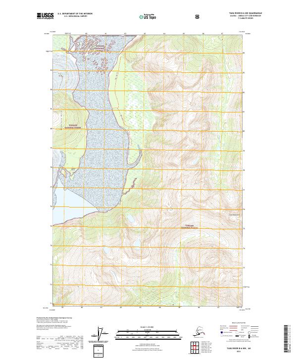
2021 Taku River B-6 NW
Juneau Borough, AK
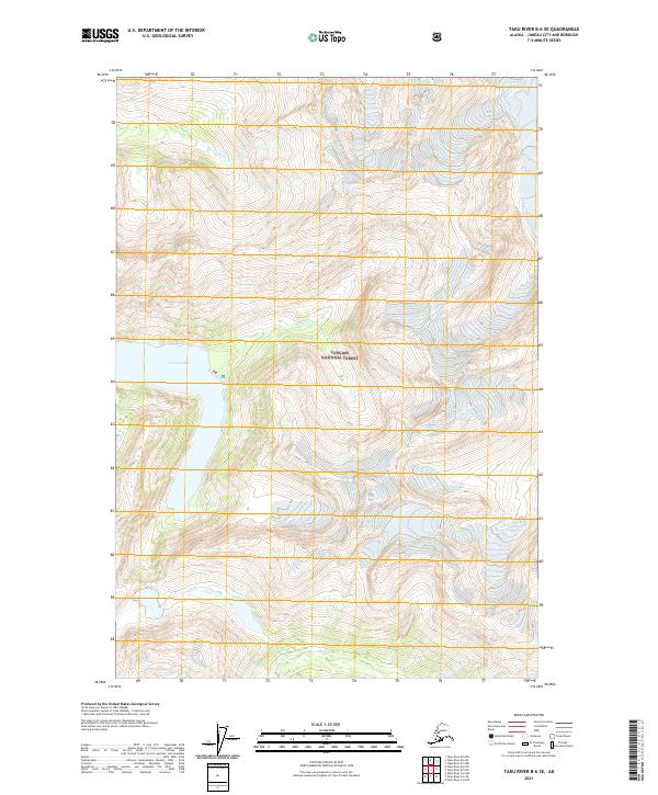
2021 Taku River B-6 SE
Juneau Borough, AK
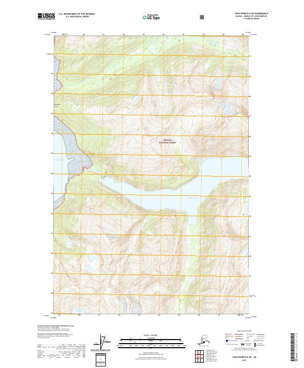
2021 Taku River B-6 SW
Juneau Borough, AK
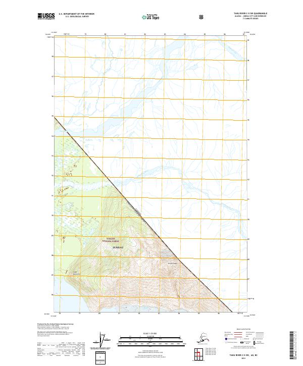
2021 Taku River C-5 SW
Juneau Borough, AK
2021 Taku River C-6 NE
Juneau Borough, AK
2021 Taku River C-6 NW
Juneau Borough, AK
2021 Taku River C-6 OE N SW
Juneau Borough, AK
2021 Taku River C-6 SE
Juneau Borough, AK
2021 Taku River C-6 SW
Juneau Borough, AK
2024 Juneau A-1 NE
Juneau Borough, AK
2024 Juneau A-1 NW
Juneau Borough, AK
2024 Juneau A-2 NE
Juneau Borough, AK
2024 Juneau A-2 NW
Juneau Borough, AK
2024 Sumdum D-6 NW
Juneau Borough, AK