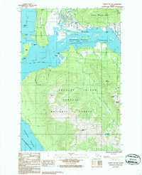
1986 Map of Juneau B-2 SW
USGS Topo · Published 1987About this map
The Gastineau Channel and Fritz Cove define this mid-1980s coastal landscape, where the tidal flats of the Mendenhall Wetlands State Game Refuge meet the aviation infrastructure of the Juneau International Airport. The survey details the complex interaction of land and water around the Mendenhall Peninsula, separating Auke Bay from the inner waterways. Extensive forest lands of the Tongass National Forest dominate the interior of Douglas Island, which is marked by high points like Mount Ben Stewart and Saddle Mountain. A network of coastal drainages, including Fish Creek and Peterson Creek, flow through the island terrain toward Stephens Passage. The map also captures several small islands and hazards, such as Battleship Island and Battleship Reef, which are critical for navigating these Alaskan waters.
Find a feature on this map
43 named features on this map. Tap any name to fly to it.
Don’t see what you’re looking for? This feature index may not catch every label — zoom into the map to look around manually.
Map Details
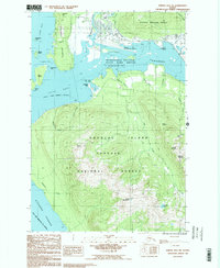
Editions of this 1986 Juneau B-2 SW Map
2 editions found
Other maps of this area

1947 · Juneau B-3
USGS Topo · 1:63,360

1947 · Juneau B-2
USGS Topo · 1:63,360

1948 · Juneau A-3
USGS Topo · 1:63,360

1949 · Juneau B-3
USGS Topo · 1:62,500

1949 · Juneau B-2
USGS Topo · 1:62,500

1950 · Juneau A-3
USGS Topo · 1:63,360

1951 · Juneau
USGS Topo · 1:250,000

1951 · Juneau A-2
USGS Topo · 1:63,360

1962 · Juneau B-2
USGS Topo · 1:63,360

1962 · Juneau B-3
USGS Topo · 1:63,360