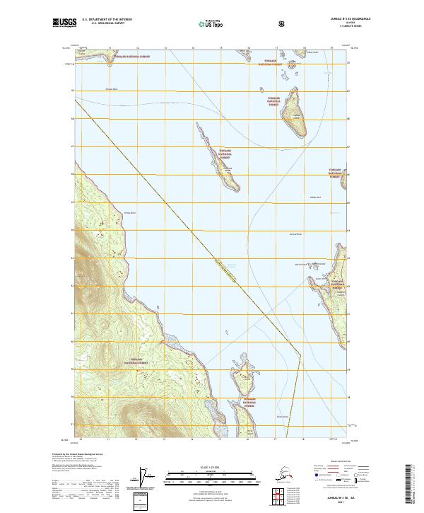
2021 Map of Juneau B-3 SE
USGS Topo · Published 2021About this map
Tongass National Forest encompasses the vast majority of this maritime landscape northwest of the state capital, where the complex waterways of Southeast Alaska define every boundary. The passage between the mainland and Shelter Island is marked by significant coastal features like Piling Point and Lone Mtn, while the deeper waters of Stephens Passage separate the mainland from the smaller outcroppings of Portland Island and Coghlan Island. This 2021 study details the intricate shoreline where Peterson Cr and Bear Cr drain into the cold Pacific waters, alongside the navigational hazards of Horse Shoal and Strauss Rock. Near the eastern edge of the map, the transition from Auke Bay toward Fritz Cove reveals the northern reaches of Douglas Island, illustrating the rugged, island-dotted nature of the Juneau City and Borough.
Find a feature on this map
32 named features on this map. Tap any name to fly to it.
Don’t see what you’re looking for? This feature index may not catch every label — zoom into the map to look around manually.
Map Details
Editions of this 2021 Juneau B-3 SE Map
This is the sole edition of this map. No revisions or reprints were ever made.
Other maps of this area

1947 · Juneau B-3
USGS Topo · 1:63,360

1947 · Juneau B-2
USGS Topo · 1:63,360

1948 · Juneau A-3
USGS Topo · 1:63,360

1949 · Juneau B-3
USGS Topo · 1:62,500

1949 · Juneau B-2
USGS Topo · 1:62,500

1950 · Juneau A-3
USGS Topo · 1:63,360

1951 · Juneau
USGS Topo · 1:250,000

1951 · Juneau A-2
USGS Topo · 1:63,360

1962 · Juneau B-2
USGS Topo · 1:63,360

1962 · Juneau B-3
USGS Topo · 1:63,360