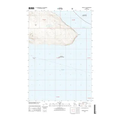
2015 Map of Juneau B-5 SW
USGS Topo · Published 2015About this map
Pleasant Island dominates this maritime survey, situated where the waters of the Gulf of Alaska meet the passage of Icy Strait. The island's interior is defined by prominent topographical markers such as The Knob and the eastern extension of Noon Point. The map provides clear delineation of protected federal lands, showing the southern reaches of Glacier Bay National Park and the expansive Tongass National Forest. This 2015 edition captures the coastal interface of Southeast Alaska, including the submerged hazards of the Pleasant Island Reef, an area critical for local navigation and maritime history. The transition from the steep, forested slopes of the island to the deep channels highlights the classic fjord-like landscape of the Unorganized Borough.
Find a feature on this map
14 named features on this map. Tap any name to fly to it.
Don’t see what you’re looking for? This feature index may not catch every label — zoom into the map to look around manually.
Map Details
Editions of this 2015 Juneau B-5 SW Map
This is the sole edition of this map. No revisions or reprints were ever made.
Other maps of this area

1948 · Juneau B-6
USGS Topo · 1:63,360

1948 · Juneau B-5
USGS Topo · 1:63,360

1950 · Juneau B-5
USGS Topo · 1:63,360

1951 · Juneau
USGS Topo · 1:250,000

1951 · Juneau A-6
USGS Topo · 1:63,360

1951 · Juneau A-5
USGS Topo · 1:63,360

1962 · Juneau
USGS Topo · 1:250,000
1994 · Juneau A-5
USGS Topo · 1:63,360
2000 · Juneau A-6
USGS Topo · 1:63,360
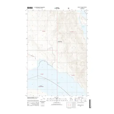
2015 · Juneau B-5 NW
USGS Topo · 1:25,000