
1948 Map of Juneau B-6
USGS Topo · Published 1956About this map
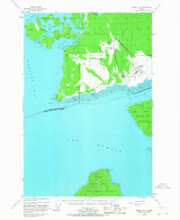
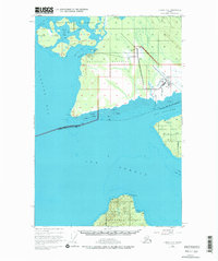
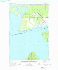
Glacier Bay National Monument dominates this mid-century landscape, showcasing the intricate coastline where the Bartlett River and Salmon River meet the coastal waters of Icy Passage. The small settlement of Gustavus is depicted with its vital infrastructure of the era, including the Gustavus Airfield, a Powerhouse, and Communication Bldg. This survey captures the region just before significant post-war expansion, highlighting the isolation of the outpost surrounded by the Beardslee Islands and the wide expanse of Icy Strait.
Find a feature on this map
32 named features on this map. Tap any name to fly to it.
Don’t see what you’re looking for? This feature index may not catch every label — zoom into the map to look around manually.
Map Details
Editions of this 1948 Juneau B-6 Map
4 editions found
Other maps of this area

1948 · Juneau C-5
USGS Topo · 1:63,360

1948 · Juneau C-6
USGS Topo · 1:63,360

1948 · Juneau B-5
USGS Topo · 1:63,360

1948 · Mount Fairweather B-1
USGS Topo · 1:63,360

1948 · Mount Fairweather A-1
USGS Topo · 1:63,360

1948 · Mount Fairweather C-1
USGS Topo · 1:63,360

1949 · Mount Fairweather C-1
USGS Topo · 1:63,360

1950 · Juneau C-6
USGS Topo · 1:63,360

1950 · Juneau B-5
USGS Topo · 1:63,360

1951 · Juneau
USGS Topo · 1:250,000