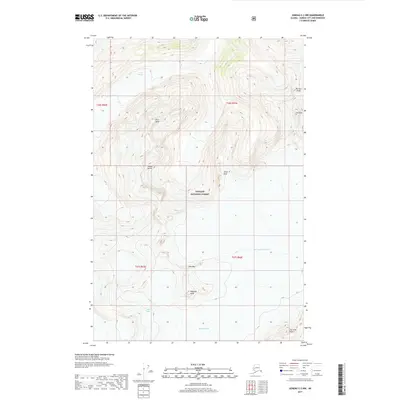
2017 Map of Juneau C-2 NW
USGS Topo · Published 2017About this map
Thiel Glacier and the West Branch Taku Glacier define this high-elevation landscape within the Tongass National Forest. The map documents a complex system of ice fields and dramatic vertical relief, characterized by prominent landmarks such as the Icefall Spires and Horn Spire. The drainage patterns and glacial margins recorded in 2017 provide a precise baseline for studying the shifting ice of the Juneau Icefield. Significant peaks throughout the quadrangle, including Mustang Peak and The Tusk, serve as fixed points for navigators and glaciologists tracking the southern reaches of the Eagle Glacier and the northern extent of the Herbert Glacier. This area, devoid of permanent human settlements or road infrastructure, remains a primitive wilderness dedicated to the movement of ice and rock.
Find a feature on this map
17 named features on this map. Tap any name to fly to it.
Don’t see what you’re looking for? This feature index may not catch every label — zoom into the map to look around manually.
Map Details
Editions of this 2017 Juneau C-2 NW Map
This is the sole edition of this map. No revisions or reprints were ever made.
Other maps of this area

1948 · Juneau D-3
USGS Topo · 1:63,360

1949 · Juneau D-3
USGS Topo · 1:63,360

1951 · Juneau
USGS Topo · 1:250,000

1951 · Juneau C-3
USGS Topo · 1:63,360

1952 · Juneau C-3
USGS Topo · 1:63,360

1953 · Juneau D-3
USGS Topo · 1:63,360

1960 · Juneau C-2
USGS Topo · 1:63,360

1960 · Juneau D-2
USGS Topo · 1:63,360

1962 · Juneau
USGS Topo · 1:250,000
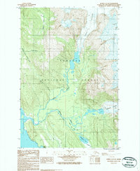
1986 · Juneau C-3 SE
USGS Topo · 1:25,000