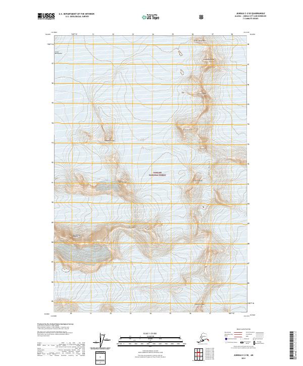
2021 Map of Juneau C-2 SE
USGS Topo · Published 2021About this map
The high peaks of the Coast Mountains dominate this 2021 study of the terrain northeast of Juneau. Most of the land falls within the protected boundaries of the Tongass National Forest, showcasing a landscape of extreme elevations and naming conventions that reflect the architectural and evocative character of the summits. Notable clusters include the jagged Mendenhall Towers to the south and the Taku Towers further north, which rise along the spine of the Taku Range. The map reveals a world defined by its verticality, where isolated summits like Emperor Peak, Princess Peak, and The Dukes overlook ice-scoured basins. Unlike many lower-elevation Alaskan surveys, this sheet is almost entirely focused on glaciated peaks, offering an essential reference for mountaineering history and the study of the Alaskan panhandle's interior icefield borders.
Find a feature on this map
19 named features on this map. Tap any name to fly to it.
Don’t see what you’re looking for? This feature index may not catch every label — zoom into the map to look around manually.
Map Details
Editions of this 2021 Juneau C-2 SE Map
This is the sole edition of this map. No revisions or reprints were ever made.
Other maps of this area

1947 · Juneau B-2
USGS Topo · 1:63,360

1948 · Juneau B-1
USGS Topo · 1:63,360

1949 · Juneau B-2
USGS Topo · 1:62,500

1951 · Juneau
USGS Topo · 1:250,000

1952 · Juneau B-1
USGS Topo · 1:63,360

1960 · Juneau C-2
USGS Topo · 1:63,360

1960 · Juneau C-1
USGS Topo · 1:63,360

1962 · Juneau B-2
USGS Topo · 1:63,360

1962 · Juneau
USGS Topo · 1:250,000
1986 · Juneau B-2 NW
USGS Topo · 1:25,000