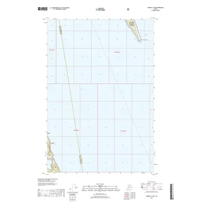
2017 Map of Juneau C-4 NE
USGS Topo · Published 2017About this map
Lynn Canal and Berners Bay dominate this coastal Alaskan landscape, where the waters of the Inside Passage meet the shoreline of the Tongass National Forest. This 2017 study illustrates the intersection of significant maritime and land-based administrative boundaries, notably the line separating Juneau Borough and Haines Borough as it cuts across the open water. The small terrestrial portion of the map focuses on the peninsula terminating at Point Saint Mary, a landmark defining the southern entrance to the bay. The map primarily documents the marine environment and the protected federal forest lands that line these remote waterways, providing a precise record of the shoreline and maritime jurisdictional limits.
Find a feature on this map
10 named features on this map. Tap any name to fly to it.
Don’t see what you’re looking for? This feature index may not catch every label — zoom into the map to look around manually.
Map Details
Editions of this 2017 Juneau C-4 NE Map
This is the sole edition of this map. No revisions or reprints were ever made.
Other maps of this area

1948 · Juneau C-4
USGS Topo · 1:63,360

1948 · Juneau D-3
USGS Topo · 1:63,360

1949 · Juneau D-4
USGS Topo · 1:63,360

1949 · Juneau C-4
USGS Topo · 1:63,360

1949 · Juneau D-3
USGS Topo · 1:63,360

1951 · Juneau
USGS Topo · 1:250,000

1951 · Juneau D-4
USGS Topo · 1:63,360

1951 · Juneau C-3
USGS Topo · 1:63,360

1952 · Juneau C-3
USGS Topo · 1:63,360

1953 · Juneau D-3
USGS Topo · 1:63,360