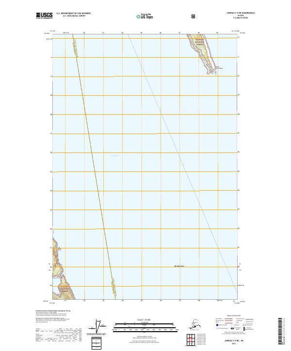
2021 Map of Juneau C-4 NE
USGS Topo · Published 2021About this map
Lynn Canal and Berners Bay dominate the coastal topography of this Southeast Alaskan maritime region, where the steep terrain of the Tongass National Forest meets the water. The survey captures the jurisdictional meeting point of Juneau City and Borough and Haines Borough, highlighting a transition zone between these two major administrative districts. This specific geography centers on the peninsula ending at Point Saint Mary, a landmark overlooking the confluence of these significant waterways. Because of the rugged shoreline and dense forest cover, the area remains primarily defined by its natural features and maritime boundaries rather than inland development, providing a clear view of the coastline as it was documented in the early twenty-first century.
Find a feature on this map
6 named features on this map. Tap any name to fly to it.
Don’t see what you’re looking for? This feature index may not catch every label — zoom into the map to look around manually.
Map Details
Editions of this 2021 Juneau C-4 NE Map
This is the sole edition of this map. No revisions or reprints were ever made.
Other maps of this area

1948 · Juneau C-4
USGS Topo · 1:63,360

1948 · Juneau D-3
USGS Topo · 1:63,360

1949 · Juneau D-4
USGS Topo · 1:63,360

1949 · Juneau C-4
USGS Topo · 1:63,360

1949 · Juneau D-3
USGS Topo · 1:63,360

1951 · Juneau
USGS Topo · 1:250,000

1951 · Juneau D-4
USGS Topo · 1:63,360

1951 · Juneau C-3
USGS Topo · 1:63,360

1952 · Juneau C-3
USGS Topo · 1:63,360

1953 · Juneau D-3
USGS Topo · 1:63,360