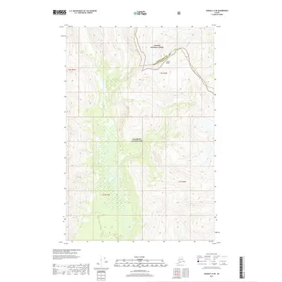
2017 Map of Juneau C-6 NE
USGS Topo · Published 2017About this map
The Beartrack River meanders through a broad valley floor, serving as a primary drainage for the surrounding peaks of the Chilkat Range. This landscape is defined by the intersection of major federal lands, where the Glacier Bay National Park meets the Tongass National Forest. The map documents a rugged wilderness setting along the boundary of the Haines Borough Hoonah-Angoon Census Area, with steep topographic relief climbing quickly from the river valley to elevations exceeding 4,000 feet. The survey illustrates the complex natural drainage patterns and glacial-carved terrain characteristic of this part of Alaska's Panhandle, providing a precise record of the shoreline and elevation contours as they existed in the early 21st century.
Find a feature on this map
9 named features on this map. Tap any name to fly to it.
Don’t see what you’re looking for? This feature index may not catch every label — zoom into the map to look around manually.
Map Details
Editions of this 2017 Juneau C-6 NE Map
This is the sole edition of this map. No revisions or reprints were ever made.
Other maps of this area

1948 · Juneau C-5
USGS Topo · 1:63,360

1948 · Juneau C-6
USGS Topo · 1:63,360

1949 · Juneau D-6
USGS Topo · 1:63,360

1949 · Juneau D-5
USGS Topo · 1:63,360

1950 · Juneau C-6
USGS Topo · 1:63,360

1951 · Juneau
USGS Topo · 1:250,000

1962 · Juneau
USGS Topo · 1:250,000
1996 · Juneau D-5
USGS Topo · 1:63,360
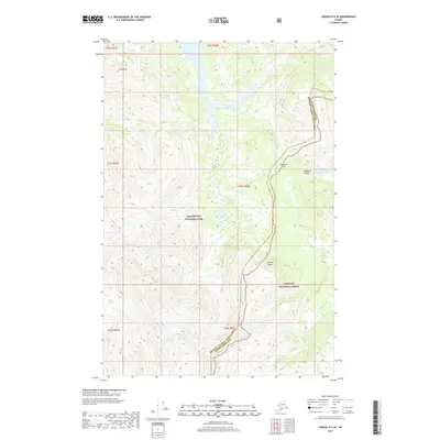
2017 · Juneau D-6 SE
USGS Topo · 1:25,000
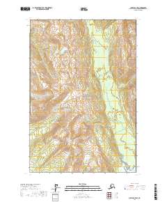
2017 · Juneau C-5 SW
USGS Topo · 1:25,000