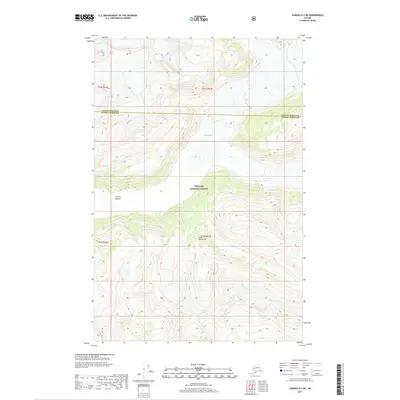
2017 Map of Juneau D-3 NE
USGS Topo · Published 2017About this map
Field Glacier dominates the northern reaches of this glaciated landscape, carved into the high elevations of the Coast Mountains. This modern survey illustrates the sheer ice and rock faces that define the boundary between the Haines Borough and Juneau Borough. To the south, the deep cleft of Granite Canyon cuts through the terrain within the protected boundaries of the Tongass National Forest. The map primarily documents high-altitude hydrography and topographical relief, showing a wilderness area where the physical geography remains the primary driver of the region's character, largely untouched by permanent settlement or transport infrastructure outside of these natural corridors.
Find a feature on this map
9 named features on this map. Tap any name to fly to it.
Don’t see what you’re looking for? This feature index may not catch every label — zoom into the map to look around manually.
Map Details
Editions of this 2017 Juneau D-3 NE Map
This is the sole edition of this map. No revisions or reprints were ever made.
Other maps of this area

1948 · Juneau D-3
USGS Topo · 1:63,360

1949 · Atlin
USGS Topo · 1:250,000

1949 · Juneau D-3
USGS Topo · 1:63,360

1951 · Juneau
USGS Topo · 1:250,000

1951 · Atlin
USGS Topo · 1:250,000

1953 · Juneau D-3
USGS Topo · 1:63,360

1960 · Juneau D-2
USGS Topo · 1:63,360

1960 · Atlin A-8
USGS Topo · 1:63,360

1960 · Atlin
USGS Topo · 1:250,000

1962 · Juneau
USGS Topo · 1:250,000