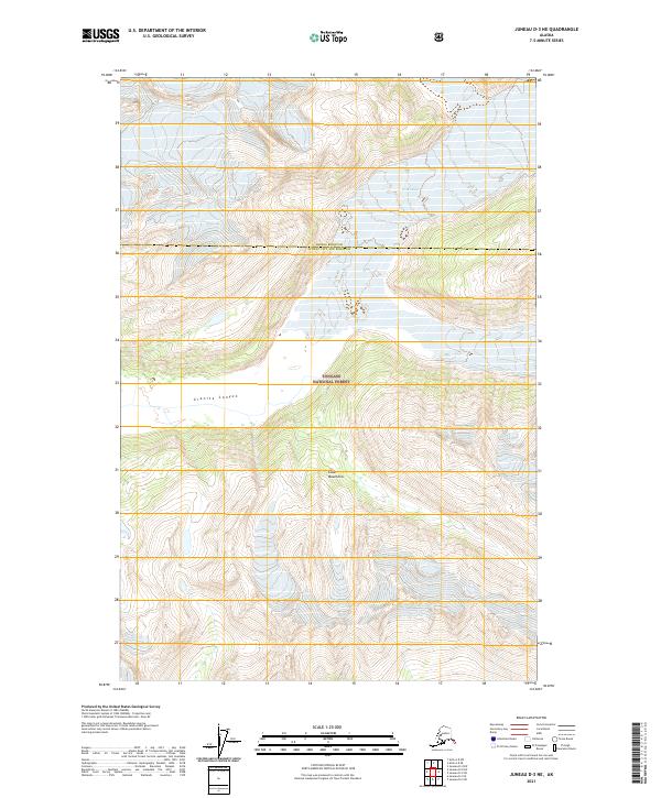
2021 Map of Juneau D-3 NE
USGS Topo · Published 2021About this map
Tongass National Forest dominates this section of the Coast Mountains, where steep ridgelines and glaciated terrain define the boundary between Juneau City and Borough and Haines Borough. The landscape is characterized by dramatic elevation changes, notably within the deep incision of Granite Canyon. High-altitude ice remains a primary geological force here, exemplified by the presence of Field Glacier in the northern reaches of the survey area. This 2021 update provides a precise look at the contemporary contours of the wilderness, mapping the intersection of federal forest lands and municipal jurisdictions in a region where the environment remains largely untouched by infrastructure or permanent settlement.
Find a feature on this map
10 named features on this map. Tap any name to fly to it.
Don’t see what you’re looking for? This feature index may not catch every label — zoom into the map to look around manually.
Map Details
Editions of this 2021 Juneau D-3 NE Map
This is the sole edition of this map. No revisions or reprints were ever made.
Other maps of this area

1948 · Juneau D-3
USGS Topo · 1:63,360

1949 · Atlin
USGS Topo · 1:250,000

1949 · Juneau D-3
USGS Topo · 1:63,360

1951 · Juneau
USGS Topo · 1:250,000

1951 · Atlin
USGS Topo · 1:250,000

1953 · Juneau D-3
USGS Topo · 1:63,360

1960 · Juneau D-2
USGS Topo · 1:63,360

1960 · Atlin A-8
USGS Topo · 1:63,360

1960 · Atlin
USGS Topo · 1:250,000

1962 · Juneau
USGS Topo · 1:250,000