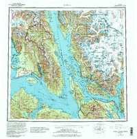
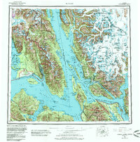
1962 Map of Juneau
USGS Topo · Published 1992About this map
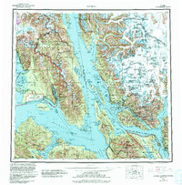
Juneau and the surrounding Alexander Archipelago are presented here in a 1960s-era topographic survey, revised through the 1980s to reflect contemporary glacial data and federal land designations. The capital city and neighboring Douglas sit along the Gastineau Channel, while the surrounding waters of Lynn Canal and Stephens Passage define the maritime character of the region. This edition provides a rare technical view of the massive ice fields of the Spirit Range, including the Taku Glacier and Mendenhall Glacier, utilizing purple patterns to denote glacial movement as of the late 1970s. Key regional settlements like Hoonah on Chichagof Island and Gustavus near the entrance to Glacier Bay National Park are mapped alongside the Gustavus Airport. The transition from industrial hubs like Thane to the expansive Admiralty Island National Monument illustrates the post-war balance of resource extraction and preservation in the Alaskan Panhandle.
Find a feature on this map
108 named features on this map. Tap any name to fly to it.
Don’t see what you’re looking for? This feature index may not catch every label — zoom into the map to look around manually.
Map Details
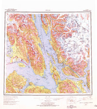
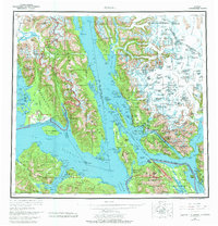
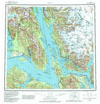
Editions of this 1962 Juneau Map
7 editions found

Other maps of this area

1947 · Juneau B-3
USGS Topo · 1:63,360

1947 · Juneau B-2
USGS Topo · 1:63,360

1948 · Juneau C-5
USGS Topo · 1:63,360

1948 · Juneau B-4
USGS Topo · 1:63,360

1948 · Juneau A-3
USGS Topo · 1:63,360

1948 · Juneau B-6
USGS Topo · 1:63,360

1948 · Juneau C-4
USGS Topo · 1:63,360

1948 · Juneau A-4
USGS Topo · 1:63,360

1948 · Sitka D-1
USGS Topo · 1:63,360

1948 · Juneau C-6
USGS Topo · 1:63,360