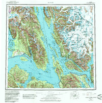
1962 Map of Juneau
USGS Topo · Published 1985About this map
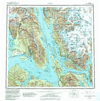
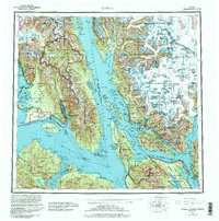
The territorial capital of Juneau and its surrounding fjord-lands appear in this survey reflecting data from the mid-20th century. This coastal landscape is defined by the massive ice fields of the Tongass National Forest, where the Mendenhall Glacier and Taku Glacier descend toward the saltwater inlets of the Lynn Canal and Stephens Passage. Settlement patterns follow the narrow shoreline benches, featuring the mining-related history of Treadwell and Thane alongside the Tlingit community of Hoonah on Port Frederick. The emergence of regional aviation is visible at Juneau Airport and the coastal landing strip at Gustavus Airport. Across the Icy Strait, the southeastern reaches of Glacier Bay National Park and the Endicott River Wilderness preserve a landscape of active glaciation and deep maritime channels.
Find a feature on this map
142 named features on this map. Tap any name to fly to it.
Don’t see what you’re looking for? This feature index may not catch every label — zoom into the map to look around manually.
Map Details
Editions of this 1962 Juneau Map
7 editions found

Other maps of this area

1947 · Juneau B-3
USGS Topo · 1:63,360

1947 · Juneau B-2
USGS Topo · 1:63,360

1948 · Juneau C-5
USGS Topo · 1:63,360

1948 · Juneau B-4
USGS Topo · 1:63,360

1948 · Juneau A-3
USGS Topo · 1:63,360

1948 · Juneau B-6
USGS Topo · 1:63,360

1948 · Juneau C-4
USGS Topo · 1:63,360

1948 · Juneau A-4
USGS Topo · 1:63,360

1948 · Sitka D-1
USGS Topo · 1:63,360

1948 · Juneau C-6
USGS Topo · 1:63,360