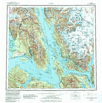
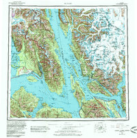
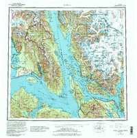
1962 Map of Juneau
USGS Topo · Published 1992About this map
Juneau and the surrounding Alexander Archipelago waterways appear here in detail during a period of transition in the mid-20th century. The intricate shoreline of the Lynn Canal and Icy Strait defines the region's geography, linking settlements like Hoonah on Chichagof Island and Gustavus near the entrance to Glacier Bay National Park. This survey reveals the early infrastructure of the capital city, including the Juneau Airport and the coastal settlement at Thane.
Find a feature on this map
260 named features on this map. Tap any name to fly to it.
Don’t see what you’re looking for? This feature index may not catch every label — zoom into the map to look around manually.
Map Details
Editions of this 1962 Juneau Map
7 editions found

Other maps of this area

1947 · Juneau B-3
USGS Topo · 1:63,360

1947 · Juneau B-2
USGS Topo · 1:63,360

1948 · Juneau C-5
USGS Topo · 1:63,360

1948 · Juneau B-4
USGS Topo · 1:63,360

1948 · Juneau A-3
USGS Topo · 1:63,360

1948 · Juneau B-6
USGS Topo · 1:63,360

1948 · Juneau C-4
USGS Topo · 1:63,360

1948 · Juneau A-4
USGS Topo · 1:63,360

1948 · Sitka D-1
USGS Topo · 1:63,360

1948 · Juneau C-6
USGS Topo · 1:63,360