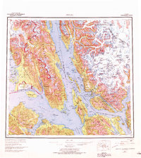
1962 Map of Juneau
USGS Topo · Published 1972About this map
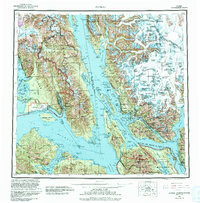
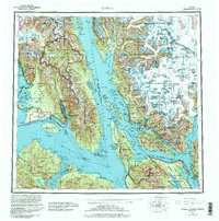
The Alaskan capital of Juneau serves as the focal point of this coastal survey, where the Gastineau Channel separates the mainland from Douglas Island. The landscape is dominated by the massive ice fields and glaciers of the Tongass National Forest, including the sprawling Mendenhall Glacier and Herbert Glacier. These glacial systems feed a complex network of waterways such as Lynn Canal and Stephens Passage, which have long defined the transportation and settlement patterns of the region.
Find a feature on this map
80 named features on this map. Tap any name to fly to it.
Don’t see what you’re looking for? This feature index may not catch every label — zoom into the map to look around manually.
Map Details
Editions of this 1962 Juneau Map
7 editions found

Other maps of this area

1947 · Juneau B-3
USGS Topo · 1:63,360

1947 · Juneau B-2
USGS Topo · 1:63,360

1948 · Juneau C-5
USGS Topo · 1:63,360

1948 · Juneau B-4
USGS Topo · 1:63,360

1948 · Juneau A-3
USGS Topo · 1:63,360

1948 · Juneau B-6
USGS Topo · 1:63,360

1948 · Juneau C-4
USGS Topo · 1:63,360

1948 · Juneau A-4
USGS Topo · 1:63,360

1948 · Sitka D-1
USGS Topo · 1:63,360

1948 · Juneau C-6
USGS Topo · 1:63,360