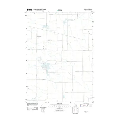
2011 Map of Juniata
USGS Topo · Published 2011About this map
Juniata sits at the center of this agricultural landscape in Tuscola County, where the transition from managed farmland to natural drainage systems defines the local geography. The area is marked by several water bodies, most notably Murphy Lake and Cedar Lake, which are surrounded by a dense network of country roads including W Snover Rd and Murphy Lake Rd. Aviation interests are represented by two distinct landing sites: Letts Field Airport and Miller Field, suggesting a reliance on private air travel for this rural community. The drainage of the land is meticulously documented through features like H-M Drain, which feeds into the larger system of Evergreen Creek and Houghton Creek. This 2011 survey captures the area as a stable mix of residential properties along the lakeshores and expansive agricultural tracts partitioned by the established grid of county routes like W Saginaw Rd.
Find a feature on this map
33 named features on this map. Tap any name to fly to it.
Don’t see what you’re looking for? This feature index may not catch every label — zoom into the map to look around manually.
Map Details
Editions of this 2011 Juniata Map
This is the sole edition of this map. No revisions or reprints were ever made.
Other maps of this area

1920 · Flint
USGS Topo · 1:62,500

1922 · Flint
USGS Topo · 1:62,500

1943 · Flint
USGS Topo · 1:62,500

1954 · Flint
USGS Topo · 1:250,000

1958 · Flint
USGS Topo · 1:250,000

1963 · East Dayton
USGS Topo · 1:24,000

1963 · Mayville
USGS Topo · 1:24,000

1963 · Columbiaville
USGS Topo · 1:24,000

1963 · Gilford
USGS Topo · 1:24,000

1963 · Caro
USGS Topo · 1:24,000