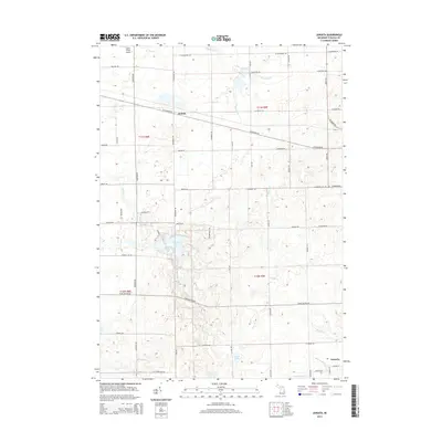
2014 Map of Juniata
USGS Topo · Published 2014About this map
Juniata and the surrounding township terrain are defined by a complex network of waterways and drainage systems, essential for the agricultural productivity of this region. The map reveals how the landscape is managed through features like the H-M Drain, Goodrich Mill Drain, and Fostoria Drain, which channel water across the flatlands into larger bodies such as Evergreen Cr and Millington Cr. In the southern portion of the quadrangle, the community of Fostoria sits near the edge of the survey, while the central area is characterized by more recreationally-focused waters like Murphy Lake and Cedar Lake. This 2014 survey documents the persistence of a traditional section-line road grid, including Sheridan RD and W Saginaw RD, which serves both isolated farmsteads and specialized landmarks like the Miller Field Airport in the northwest corner.
Find a feature on this map
40 named features on this map. Tap any name to fly to it.
Don’t see what you’re looking for? This feature index may not catch every label — zoom into the map to look around manually.
Map Details
Editions of this 2014 Juniata Map
This is the sole edition of this map. No revisions or reprints were ever made.
Other maps of this area

1920 · Flint
USGS Topo · 1:62,500

1922 · Flint
USGS Topo · 1:62,500

1943 · Flint
USGS Topo · 1:62,500

1954 · Flint
USGS Topo · 1:250,000

1958 · Flint
USGS Topo · 1:250,000

1963 · East Dayton
USGS Topo · 1:24,000

1963 · Mayville
USGS Topo · 1:24,000

1963 · Columbiaville
USGS Topo · 1:24,000

1963 · Gilford
USGS Topo · 1:24,000

1963 · Caro
USGS Topo · 1:24,000