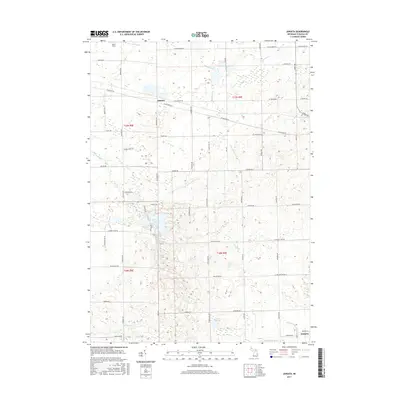
2017 Map of Juniata
USGS Topo · Published 2017About this map
The settlement of Juniata serves as a central point in this part of Tuscola County, where the landscape is defined by a dense network of agricultural drainage and natural waterways. To the southeast, Fostoria sits near the intersection of several local waterways, including the Fostoria Drain and the Goodrich Mill Drain. The terrain is punctuated by significant water bodies such as Murphy Lake and Cedar Lake, which break up the geometric grid of rural roads. These roads, including Mertz Rd and Sheridan Rd, trace the township lines and property boundaries established by the Public Land Survey System. The presence of numerous named creeks like Evergreen Cr and Houghton Cr indicates a complex local hydrology that has historically dictated the placement of farms and early settlements in this Michigan thumb region.
Find a feature on this map
57 named features on this map. Tap any name to fly to it.
Don’t see what you’re looking for? This feature index may not catch every label — zoom into the map to look around manually.
Map Details
Editions of this 2017 Juniata Map
This is the sole edition of this map. No revisions or reprints were ever made.
Other maps of this area

1920 · Flint
USGS Topo · 1:62,500

1922 · Flint
USGS Topo · 1:62,500

1943 · Flint
USGS Topo · 1:62,500

1954 · Flint
USGS Topo · 1:250,000

1958 · Flint
USGS Topo · 1:250,000

1963 · East Dayton
USGS Topo · 1:24,000

1963 · Mayville
USGS Topo · 1:24,000

1963 · Columbiaville
USGS Topo · 1:24,000

1963 · Gilford
USGS Topo · 1:24,000

1963 · Caro
USGS Topo · 1:24,000