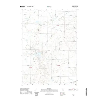
2019 Map of Juniata
USGS Topo · Published 2019About this map
Juniata sits at the northern end of a landscape defined by an intricate network of agricultural and natural waterways in Tuscola County. The settlement is positioned near the intersection of W Saginaw Rd and W Snover Rd, serving as a central point in a region dominated by drainage engineering and small water bodies. To the south, Murphy Lake and Cedar Lake provide distinct geographic anchors amidst a complex system of managed channels like McNeil Drain and Beach Drain. This 2019 survey illustrates the persistent rural character of the area, where the road grid follows the section lines of Township 10 and 11 North. Notable landmarks such as Miller Field in the northwest and the course of Evergreen Cr highlight the blend of private land use and the natural hydrology of the Millington Cr watershed.
Find a feature on this map
48 named features on this map. Tap any name to fly to it.
Don’t see what you’re looking for? This feature index may not catch every label — zoom into the map to look around manually.
Map Details
Editions of this 2019 Juniata Map
This is the sole edition of this map. No revisions or reprints were ever made.
Other maps of this area

1920 · Flint
USGS Topo · 1:62,500

1922 · Flint
USGS Topo · 1:62,500

1943 · Flint
USGS Topo · 1:62,500

1954 · Flint
USGS Topo · 1:250,000

1958 · Flint
USGS Topo · 1:250,000

1963 · East Dayton
USGS Topo · 1:24,000

1963 · Mayville
USGS Topo · 1:24,000

1963 · Columbiaville
USGS Topo · 1:24,000

1963 · Gilford
USGS Topo · 1:24,000

1963 · Caro
USGS Topo · 1:24,000