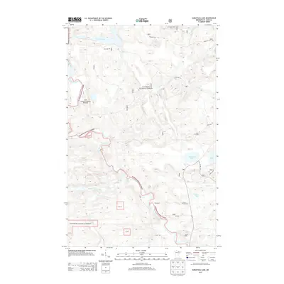
2013 Map of Kabustasa Lake
USGS Topo · Published 2013About this map
Superior National Forest dominates this northern Minnesota landscape, where the Vermilion River and Pelican River wind through a dense network of wetlands and wooded hills. The presence of Gold Mine Rd and the John Congdon Goldmine Wetlands points to the region's mineral prospecting history, while the Crane Lake Lookout Tower in the northeast corner highlights the area's ongoing management and fire surveillance needs.
Find a feature on this map
21 named features on this map. Tap any name to fly to it.
Don’t see what you’re looking for? This feature index may not catch every label — zoom into the map to look around manually.
Map Details
Editions of this 2013 Kabustasa Lake Map
This is the sole edition of this map. No revisions or reprints were ever made.
Other maps of this area

1954 · International Falls
USGS Topo · 1:250,000

1957 · International Falls
USGS Topo · 1:250,000

1958 · International Falls
USGS Topo · 1:250,000

1963 · Echo Lake
USGS Topo · 1:24,000

1963 · Picket Lake
USGS Topo · 1:24,000

1963 · Crane Lake
USGS Topo · 1:24,000

1967 · Kabustasa Lake
USGS Topo · 1:24,000

1967 · Marion Lake
USGS Topo · 1:24,000

1967 · Elephant Lake
USGS Topo · 1:24,000
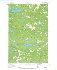
1967 · Buyck
USGS Topo · 1:24,000