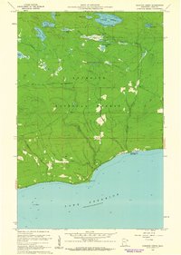
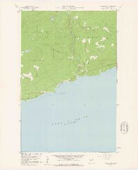
1960 Map of Kadunce Creek
USGS Topo · Published 1961About this map
Lake Superior dominates the southern reaches of this 1960 survey, where the shoreline rises sharply toward the interior of the Superior National Forest. This era of the North Shore is defined by its recreation and early infrastructure, notably along the coastal corridor where Kadunce Creek State Park and the settlement of Red Cliff are situated. The landscape is deeply incised by Kimball Creek and Kadunce Creek, which drain a high plateau filled with numerous small water bodies such as Trout Lake, Kimball Lake, and Mink Lake. One distinct insight provided by the 1957 aerial photography used for this map is a road segment marked Under Construction north of the lakes, indicating the steady expansion of forest access routes during the post-war period. Topographic details also include coastal landmarks like Guano Rock and inland features like the Cliff overlooking the lower creek valleys.
Find a feature on this map
21 named features on this map. Tap any name to fly to it.
Don’t see what you’re looking for? This feature index may not catch every label — zoom into the map to look around manually.
Map Details
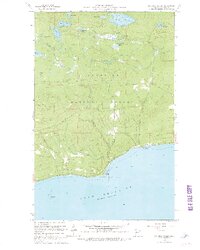
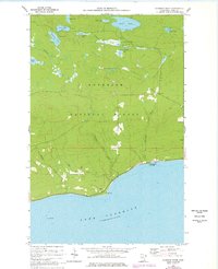
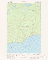
Editions of this 1960 Kadunce Creek Map
4 editions found
Other maps of this area

1919 · Grand Marais
USGS Topo · 1:62,500

1954 · Two Harbors
USGS Topo · 1:250,000

1957 · Two Harbors
USGS Topo · 1:250,000

1958 · Two Harbors
USGS Topo · 1:250,000

1959 · Northern Light Lake
USGS Topo · 1:24,000

1959 · Pine Mountain
USGS Topo · 1:24,000

1959 · Tom Lake
USGS Topo · 1:24,000

1960 · Grand Marais
USGS Topo · 1:24,000
1960 · Marr Island
USGS Topo · 1:24,000

1964 · Two Harbors
USGS Topo · 1:250,000