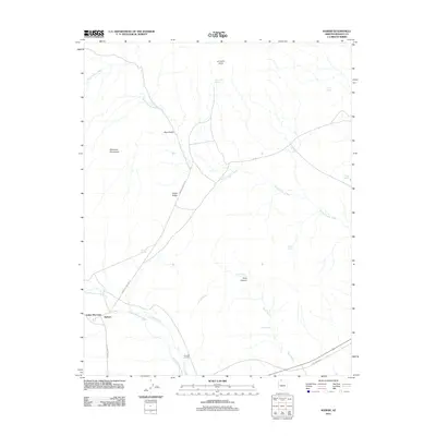
2011 Map of Kaibab
USGS Topo · Published 2011About this map
Indian Moccasin and Kaibab serve as the primary focal points of human settlement in this high-desert landscape of Mohave County. Situated along the southern edge of the Moccasin Mountains, these communities are connected by a network of rural roads such as N Pipe Spring Rd and Moccasin Wash Rd. The terrain is defined by dry drainage systems including Sandy Canyon Wash and Twomile Wash, which cut through prominent geological features like Cedar Ridge and the Blue Knolls. Water sources, critical to the history of this arid region, are marked by numerous named springs such as Red Cliff Spring, Pine Spring, and Wolf Spring. The presence of Twomile Corrals in the southern portion of the quadrangle suggests a continuing legacy of ranching or livestock management integrated into the natural topography of Cove Canyon and Sand Wash.
Find a feature on this map
23 named features on this map. Tap any name to fly to it.
Don’t see what you’re looking for? This feature index may not catch every label — zoom into the map to look around manually.
Map Details
Editions of this 2011 Kaibab Map
2 editions found
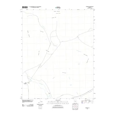
Other maps of this area

1886 · Kanab
USGS Topo · 1:250,000

1886 · Kaibab
USGS Topo · 1:250,000

1953 · Cedar City
USGS Topo · 1:250,000

1953 · Grand Canyon
USGS Topo · 1:250,000

1954 · Kanab SW
USGS Topo · 1:24,000

1954 · Fredonia NW
USGS Topo · 1:24,000

1954 · Kanab SE
USGS Topo · 1:24,000

1954 · Short Creek SE
USGS Topo · 1:24,000

1954 · Fredonia SW
USGS Topo · 1:24,000

1954 · Fredonia NE
USGS Topo · 1:24,000