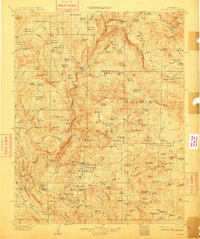
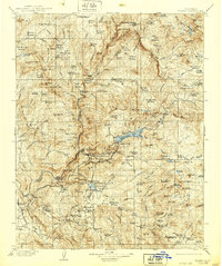
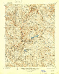
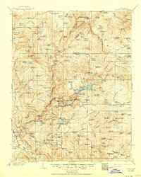
1904 Map of Kaiser
USGS Topo · Published 1910About this map
Industrial activity and high-altitude grazing define this early 20th-century landscape within the Sierra Forest Reserve. The map records an extensive network of lumber operations concentrated in the southern half, including the Peckinpah Mill, Sage Mill, and Damon Mill, alongside several other family-named mills such as Littlefield Mill and Walsh Mill. This concentration suggests a period of intensive timber extraction before modern conservation practices were fully established.
Find a feature on this map
107 named features on this map. Tap any name to fly to it.
Don’t see what you’re looking for? This feature index may not catch every label — zoom into the map to look around manually.
Map Details
Editions of this 1904 Kaiser Map
8 editions found
Other maps of this area

1897 · Yosemite
USGS Topo · 1:125,000

1900 · Yosemite
USGS Topo · 1:125,000

1901 · Mt. Lyell
USGS Topo · 1:125,000

1903 · Yosemite
USGS Topo · 1:125,000

1903 · Tehipite
USGS Topo · 1:125,000

1904 · Kaiser
USGS Topo · 1:125,000

1905 · Tehipite
USGS Topo · 1:125,000

1909 · Yosemite
USGS Topo · 1:125,000

1912 · Mariposa
USGS Topo · 1:125,000

1912 · Mt. Goddard
USGS Topo · 1:125,000