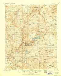
1904 Map of Kaiser
USGS Topo · Published 1950About this map
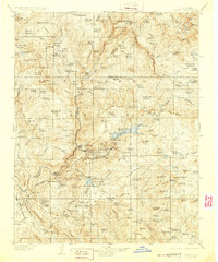
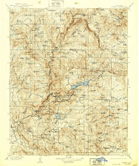
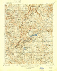
Chawanakee Rancheria and the early timber operations of the Sierra Nevada foothills define the landscape of this 1901–1902 survey. The map details a rugged industrial frontier before the expansion of modern reservoirs, focused instead on the series of hydroelectric stations at Power House No. 1 through Power House No. 4 and the extensive system of flumes and irrigation lines required to harness the region's water. Timber and mineral extraction are evident through numerous family-named operations like Peckinpah Mill, Moore Mill, and Littlefield Mill, alongside the Kaiser Creek Diggings. Higher elevations are characterized by a vast network of grazing meadows and early forestry outposts such as Daulton Ranger Station, while the lower slopes reveal the primary settlements at Auberry and Tollhouse. Significant natural landmarks including the Mc Kinley Grove (Big Trees) are documented just as the region began its transition toward organized resource management.
Find a feature on this map
185 named features on this map. Tap any name to fly to it.
Don’t see what you’re looking for? This feature index may not catch every label — zoom into the map to look around manually.
Map Details
Editions of this 1904 Kaiser Map
8 editions found
Other maps of this area

1897 · Yosemite
USGS Topo · 1:125,000

1900 · Yosemite
USGS Topo · 1:125,000

1901 · Mt. Lyell
USGS Topo · 1:125,000

1903 · Yosemite
USGS Topo · 1:125,000

1903 · Tehipite
USGS Topo · 1:125,000

1904 · Kaiser
USGS Topo · 1:125,000

1905 · Tehipite
USGS Topo · 1:125,000

1909 · Yosemite
USGS Topo · 1:125,000

1912 · Mariposa
USGS Topo · 1:125,000

1912 · Mt. Goddard
USGS Topo · 1:125,000