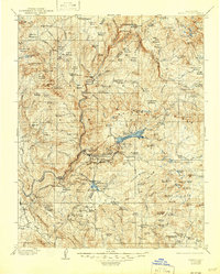
1904 Map of Kaiser
USGS Topo · Published 1946About this map
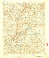
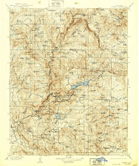
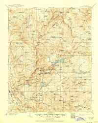
Chuwana Rancheria and the early hydroelectric development at Cascada Sta anchor this turn-of-the-century look at the high Sierra Nevada. The landscape is defined by the early timber and mining industries of eastern Madera and Fresno counties, featuring a dense network of family-named lumber mills such as Bennett Mill, Corlew Mill, and Peterson Mill. These operations were supported by a system of flumes and roads that navigated the complex drainages of the South Fork San Joaquin River and its tributaries.
Find a feature on this map
170 named features on this map. Tap any name to fly to it.
Don’t see what you’re looking for? This feature index may not catch every label — zoom into the map to look around manually.
Map Details
Editions of this 1904 Kaiser Map
8 editions found
Other maps of this area

1897 · Yosemite
USGS Topo · 1:125,000

1900 · Yosemite
USGS Topo · 1:125,000

1901 · Mt. Lyell
USGS Topo · 1:125,000

1903 · Yosemite
USGS Topo · 1:125,000

1903 · Tehipite
USGS Topo · 1:125,000

1904 · Kaiser
USGS Topo · 1:125,000

1905 · Tehipite
USGS Topo · 1:125,000

1909 · Yosemite
USGS Topo · 1:125,000

1912 · Mariposa
USGS Topo · 1:125,000

1912 · Mt. Goddard
USGS Topo · 1:125,000