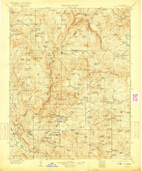
1904 Map of Kaiser
USGS Topo · Published 1917About this map
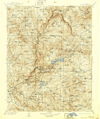
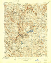
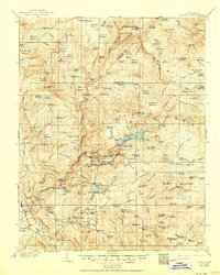
Tollhouse and the nearby Ross Ranch anchor the southern reaches of this early twentieth-century survey, a landscape defined by its timber and high-altitude grazing. The region is dotted with numerous sawmills, including Bennett Mill, Gorlew Mill, and Walsh Mill, reflecting a period of active resource extraction before modern forestry regulations took hold. These industrial sites are scattered among high mountain meadows such as Jackass Meadow and Beasore Meadows, which served as critical seasonal pasture for livestock.
Find a feature on this map
167 named features on this map. Tap any name to fly to it.
Don’t see what you’re looking for? This feature index may not catch every label — zoom into the map to look around manually.
Map Details
Editions of this 1904 Kaiser Map
8 editions found
Other maps of this area

1897 · Yosemite
USGS Topo · 1:125,000

1900 · Yosemite
USGS Topo · 1:125,000

1901 · Mt. Lyell
USGS Topo · 1:125,000

1903 · Yosemite
USGS Topo · 1:125,000

1903 · Tehipite
USGS Topo · 1:125,000

1904 · Kaiser
USGS Topo · 1:125,000

1905 · Tehipite
USGS Topo · 1:125,000

1909 · Yosemite
USGS Topo · 1:125,000

1912 · Mariposa
USGS Topo · 1:125,000

1912 · Mt. Goddard
USGS Topo · 1:125,000