
1904 Map of Kaiser
USGS Topo · Published 1904About this map
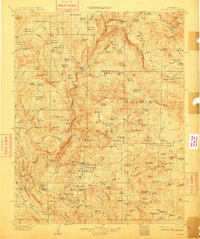
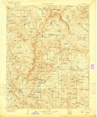
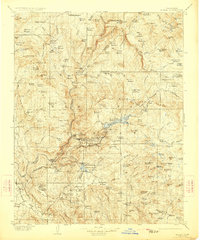
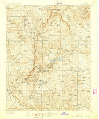
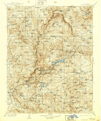
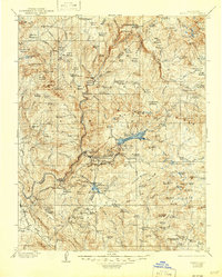
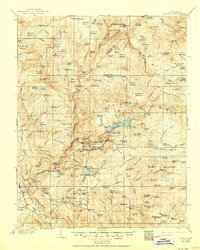
The Sierra Forest Reserve dominates this 1901–1902 survey, capturing the high-elevation landscape of the central Sierra Nevada before modern infrastructure reached the backcountry. The map reveals an early industrial footprint in the mountains, notably around Shaver Lake where a network of flumes and mills like Damon Mill and Fullers Meadow Mill supported logging operations. In the southern reaches, the settlement of Tollhouse sits at the base of the climb toward the high country, serving as a gateway for travelers and freight moving toward Ockenden and the scattered camps above.
Find a feature on this map
66 named features on this map. Tap any name to fly to it.
Don’t see what you’re looking for? This feature index may not catch every label — zoom into the map to look around manually.
Map Details
Editions of this 1904 Kaiser Map
8 editions found
Other maps of this area

1897 · Yosemite
USGS Topo · 1:125,000

1900 · Yosemite
USGS Topo · 1:125,000

1901 · Mt. Lyell
USGS Topo · 1:125,000

1903 · Yosemite
USGS Topo · 1:125,000

1903 · Tehipite
USGS Topo · 1:125,000

1905 · Tehipite
USGS Topo · 1:125,000

1909 · Yosemite
USGS Topo · 1:125,000

1912 · Mariposa
USGS Topo · 1:125,000

1912 · Mt. Goddard
USGS Topo · 1:125,000

1914 · Mt. Morrison
USGS Topo · 1:125,000