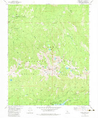
1982 Map of Kaiser Peak
USGS Topo · Published 1983About this map
Lakeshore serves as a key recreational and operational hub on the northern edge of Huntington Lake in the southern Sierra National Forest. The 1980s landscape is defined by the high-altitude Kaiser Ridge, topped by the 10,320-foot Kaiser Peak. This area is central to the regional hydroelectric system, as evidenced by the Powerhouse, Surge Chamber, and Ward Tunnel Road near the lake's shore. Moving north, the map reveals a network of high-country meadows and alpine lakes within the Kaiser Wilderness, including Nellie Lake and Pryor Lake. Historic sites like the Kaiser Diggings Forest Service Station and the various campgrounds—such as Kinnikinnick Campground and Rancheria Campground—point to the area's long-standing role as a gateway for mountain exploration and forest management.
Find a feature on this map
62 named features on this map. Tap any name to fly to it.
Don’t see what you’re looking for? This feature index may not catch every label — zoom into the map to look around manually.
Map Details
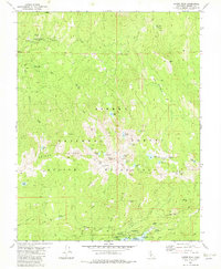
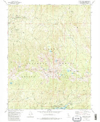
Editions of this 1982 Kaiser Peak Map
3 editions found
Other maps of this area

1904 · Kaiser
USGS Topo · 1:125,000

1947 · Mariposa
USGS Topo · 1:250,000

1948 · Mariposa
USGS Topo · 1:250,000

1953 · Huntington Lake
USGS Topo · 1:62,500

1953 · Shaver Lake
USGS Topo · 1:62,500

1953 · Shuteye Peak
USGS Topo · 1:62,500

1953 · Kaiser Peak
USGS Topo · 1:62,500

1957 · Mariposa
USGS Topo · 1:250,000

1963 · Mariposa
USGS Topo · 1:250,000

1980 · Shaver Lake
USGS Topo · 1:100,000