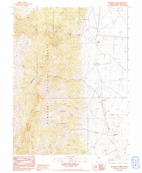
1982 Map of Kalamazoo Creek
USGS Topo · Published 1991About this map
Schell Creek Range dominates the western half of this Nevada landscape, where the high terrain of the Humboldt National Forest gives way to the lower eastern flats. Small-scale ranching and mineral extraction define the human presence here during the late twentieth century, evidenced by the Eldridge Ranch and the Grand Deposit mine. The water management system is particularly detailed, showing a complex network of irrigation and water control including a Diversion Dam, a Ditch, and an Abandoned Ditch that trace the historical efforts to divert mountain runoff from Kalamazoo Creek and Meadow Creek toward the arid valley floor. This survey also records isolated infrastructure such as a Landing Strip near Meadow Creek Ranch and the settlement of Muncy tucked along the northern slopes.
Find a feature on this map
22 named features on this map. Tap any name to fly to it.
Don’t see what you’re looking for? This feature index may not catch every label — zoom into the map to look around manually.
Map Details
Editions of this 1982 Kalamazoo Creek Map
2 editions found
Other maps of this area

1952 · Ely
USGS Topo · 1:125,000

1956 · Ely
USGS Topo · 1:250,000

1959 · Ely
USGS Topo · 1:250,000

1959 · Schell Peaks
USGS Topo · 1:62,500

1963 · Ely
USGS Topo · 1:250,000

1981 · North Schell Peak
USGS Topo · 1:24,000

1981 · Duck Creek Valley
USGS Topo · 1:24,000
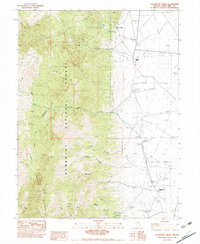
1982 · Kalamazoo Creek
USGS Topo · 1:24,000
1982 · Silver Canyon
USGS Topo · 1:24,000
1982 · Mattier Creek
USGS Topo · 1:24,000