
1916 Map of Kalamazoo
USGS Topo · Published 1956About this map
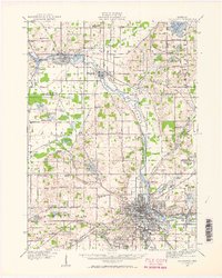
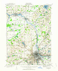
Kalamazoo and its surrounding townships are shown here during a period of significant industrial and institutional growth. The city is a hub for multiple rail lines, including the Michigan Central and the Chicago and Grand Trunk, which parallel major watercourses like the Kalamazoo River. Notable institutional landmarks such as the State Hospital and Nazareth Academy are established, while the river's power is harnessed by the Otsego Dam to the northwest.
Find a feature on this map
104 named features on this map. Tap any name to fly to it.
Don’t see what you’re looking for? This feature index may not catch every label — zoom into the map to look around manually.
Map Details
Editions of this 1916 Kalamazoo Map
3 editions found
Other maps of this area

1918 · Kalamazoo
USGS Topo · 1:62,500

1918 · Galesburg
USGS Topo · 1:62,500

1918 · Leonidas
USGS Topo · 1:62,500

1922 · Schoolcraft
USGS Topo · 1:62,500

1943 · Kalamazoo
USGS Topo · 1:62,500

1943 · Schoolcraft
USGS Topo · 1:62,500

1944 · Leonidas
USGS Topo · 1:62,500

1944 · Galesburg
USGS Topo · 1:62,500

1944 · Marcellus
USGS Topo · 1:62,500

1946 · Marcellus
USGS Topo · 1:62,500