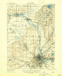
1918 Map of Kalamazoo
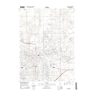
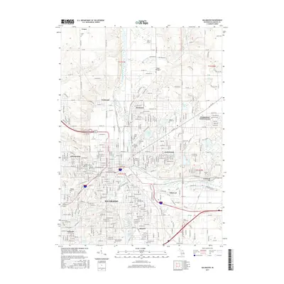
USGS Topo · Published 1946About this map
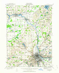
The Kalamazoo River and its accompanying rail lines form the industrial backbone of this Michigan landscape during the early twentieth century. Extensive rail infrastructure, including the Michigan Central RR and the Michigan Electric RR, connects the city of Kalamazoo to outlying industrial and agricultural nodes like Parchment and Plainwell. North of the city, the landscape is defined by the Gun Plains and a dense network of local schools and cemeteries that served the surrounding farmsteads. Institutional landmarks are prominent, notably the State Hospital and Nazareth Academy. Water features like Pine Lake and Warner Lake dot the northeastern corner, while the Otsego Dam near the town of Otsego signals the era’s harnessing of river power. This survey captures a moment of transition where established rural crossroads like Alamo and Cooper exist alongside the expanding residential footprint of Oakwood Heights and Ravenswood Heights.
Find a feature on this map
104 named features on this map. Tap any name to fly to it.
Don’t see what you’re looking for? This feature index may not catch every label — zoom into the map to look around manually.
Map Details
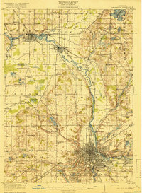
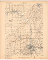
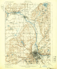
Editions of this 1918 Kalamazoo Map
4 editions found
Historical Maps of Kalamazoo Through Time
11 maps found
1916 Kalamazoo
Kalamazoo County, MI
1918 Kalamazoo
Kalamazoo County, MI

1943 Kalamazoo
Kalamazoo County, MI
1967 Kalamazoo
Kalamazoo County, MI

1982 Kalamazoo
Kalamazoo County, MI
1995 Kalamazoo
Kalamazoo County, MI
2011 Kalamazoo
Kalamazoo County, MI
2014 Kalamazoo
Kalamazoo County, MI
2017 Kalamazoo
Kalamazoo County, MI
2019 Kalamazoo
Kalamazoo County, MI
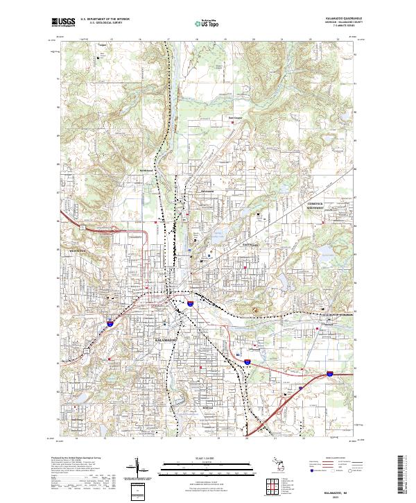
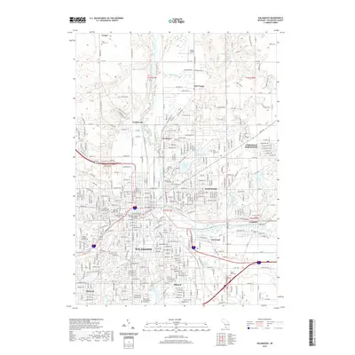
2023 Kalamazoo
Kalamazoo County, MI