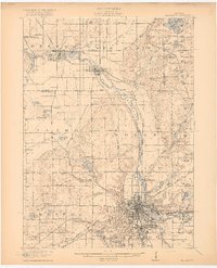
1918 Map of Kalamazoo
USGS Topo · Published 1918About this map
The Kalamazoo River defines the industrial and agricultural corridor of this region, winding through the namesake city and northward past Plainwell and Otsego. During this era of burgeoning development, the landscape is densely dotted with rural schoolhouses, including the Miner School, Selma School, and Grand Prairie School, reflecting a well-established network of township communities. The city of Kalamazoo itself shows a concentrated urban grid, flanked by the State Hospital and Nazareth Academy, while the outskirts feature growing residential areas like Oakwood Heights and Parchment.
Find a feature on this map
99 named features on this map. Tap any name to fly to it.
Don’t see what you’re looking for? This feature index may not catch every label — zoom into the map to look around manually.
Map Details
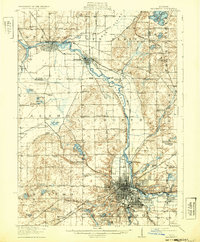
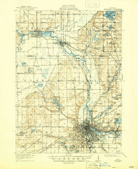
Editions of this 1918 Kalamazoo Map
4 editions found
Other maps of this area

1916 · Kalamazoo
USGS Topo · 1:62,500

1918 · Kalamazoo
USGS Topo · 1:62,500

1918 · Galesburg
USGS Topo · 1:62,500

1918 · Leonidas
USGS Topo · 1:62,500

1922 · Schoolcraft
USGS Topo · 1:62,500

1943 · Kalamazoo
USGS Topo · 1:62,500

1943 · Schoolcraft
USGS Topo · 1:62,500

1944 · Leonidas
USGS Topo · 1:62,500

1944 · Galesburg
USGS Topo · 1:62,500

1944 · Marcellus
USGS Topo · 1:62,500