
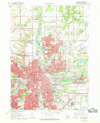
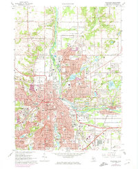
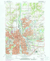
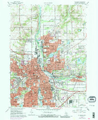
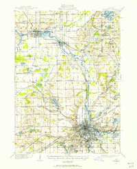
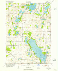
1967 Map of Kalamazoo
USGS Topo · Published 1986About this map
The Kalamazoo River flows through a landscape of rapid mid-century expansion, serving as the central artery between the industrial and academic heart of Kalamazoo and its northern neighbors like Parchment. The 1960s urban footprint is densely populated with institutional landmarks, from the expansive campuses of Western Michigan University and Kalamazoo College to the sprawling Kalamazoo State Hospital. This period shows a complex network of transportation, where the Penn Central and Western Railroad lines intersect with modern arterial routes like Stadium Drive and Gull Road.
Find a feature on this map
89 named features on this map. Tap any name to fly to it.
Don’t see what you’re looking for? This feature index may not catch every label — zoom into the map to look around manually.
Map Details
Editions of this 1967 Kalamazoo Map
5 editions found
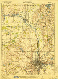
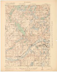
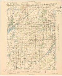
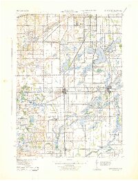
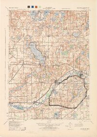
Other maps of this area
1916 · Kalamazoo
USGS Topo · 1:62,500
1918 · Kalamazoo
USGS Topo · 1:62,500
1918 · Galesburg
USGS Topo · 1:62,500
1918 · Leonidas
USGS Topo · 1:62,500
1922 · Schoolcraft
USGS Topo · 1:62,500

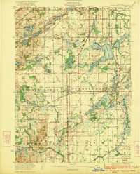
1943 · Kalamazoo
USGS Topo · 1:62,500
1943 · Schoolcraft
USGS Topo · 1:62,500

1944 · Leonidas
USGS Topo · 1:62,500
1944 · Galesburg
USGS Topo · 1:62,500
1947 · Delton
USGS Topo · 1:24,000
Featured Places
- Kalamazoo, MI
- Parchment, MI
- Comstock Charter Township, MI
- Kalamazoo Charter Township, MI
- Richland Township, MI