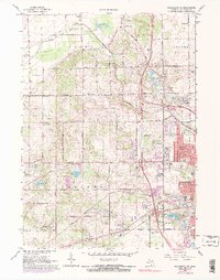
1967 Map of Kalamazoo SW
USGS Topo · Published 1974About this map
Kalamazoo expansion into the western townships defines this mid-century landscape, where residential development in Westwood meets the established rural centers of Alamo and Oshtemo. The southern portion of the map is notable for the sprawling grounds of the State Hospital near Asylum Lake, a major institutional presence in the region's history. The transportation network is anchored by the Penn Central railroad and a grid of rural routes like Ravine Road, which connect numerous small community landmarks. Genealogists will find significant value in the scattered burial grounds and local institutions, including Genesee Prairie Cem, Liberty Cem, and a series of neighborhood schools such as Indian Prairie Sch and Chime Street Sch. The landscape is also marked by its glacial history, evidenced by numerous kettle lakes like Bonnie Castle Lake and Dustin Lake, as well as active Gravel Pits that supported the area's mid-century growth.
Find a feature on this map
54 named features on this map. Tap any name to fly to it.
Don’t see what you’re looking for? This feature index may not catch every label — zoom into the map to look around manually.
Map Details
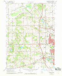
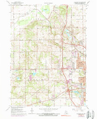
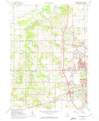
Editions of this 1967 Kalamazoo SW Map
4 editions found
Other maps of this area

1916 · Kalamazoo
USGS Topo · 1:62,500

1918 · Kalamazoo
USGS Topo · 1:62,500

1922 · Schoolcraft
USGS Topo · 1:62,500

1943 · Kalamazoo
USGS Topo · 1:62,500

1943 · Schoolcraft
USGS Topo · 1:62,500

1944 · Marcellus
USGS Topo · 1:62,500

1946 · Marcellus
USGS Topo · 1:62,500

1946 · Gobles
USGS Topo · 1:62,500

1948 · Gobles
USGS Topo · 1:62,500

1949 · Gobles
USGS Topo · 1:62,500