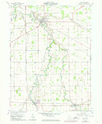
1960 Map of Kalida
USGS Topo · Published 1974About this map
The confluence of the Auglaize River and the Ottawa River anchor this topographic survey of central Putnam County. In the village of Kalida, the street grid and local landmarks like St Michaels Cem are well-defined, while the surrounding townships of Jackson, Union, and Sugar Creek reveal a landscape transitioning through mid-century infrastructure updates. The presence of several family-named burial grounds, including Clevenger Cem, Reynolds Cem, and Keirns Cem, offers a detailed spatial record for genealogists and local historians. To the southeast, the small settlement of Vaughnsville and the rail-oriented hamlet of Rimer sit along the Akron Canton and Youngstown railroad line. Along the winding course of Sugar Creek, rural life is marked by the Thompson Ch and several small quarries, indicating the local extraction industries that operated alongside the region's agricultural base.
Find a feature on this map
28 named features on this map. Tap any name to fly to it.
Don’t see what you’re looking for? This feature index may not catch every label — zoom into the map to look around manually.
Map Details
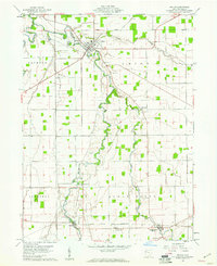
Editions of this 1960 Kalida Map
2 editions found
Other maps of this area

1906 · Columbus Grove
USGS Topo · 1:62,500

1908 · Columbus Grove
USGS Topo · 1:62,500

1908 · Ottawa
USGS Topo · 1:62,500

1909 · Continental
USGS Topo · 1:62,500

1911 · Delphos
USGS Topo · 1:62,500

1944 · Delphos
USGS Topo · 1:62,500

1953 · Fort Wayne
USGS Topo · 1:250,000

1953 · Muncie
USGS Topo · 1:250,000

1956 · Muncie
USGS Topo · 1:250,000

1956 · Fort Wayne
USGS Topo · 1:250,000