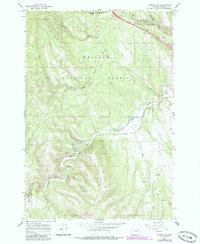
1964 Map of Kamela SE
USGS Topo · Published 1985About this map
The Grande Ronde River carves a deep path through the timbered landscape of the Whitman National Forest in this mid-century survey. The area is defined by its rugged topography and the industrial infrastructure necessary to navigate it, most notably the Union Pacific Railroad winding through Railroad Canyon and along Canyon Creek. Evidence of earlier transport routes is visible in the Old Railroad Grade that parallels the modern tracks near Hilgard Junction State Park.
Find a feature on this map
29 named features on this map. Tap any name to fly to it.
Don’t see what you’re looking for? This feature index may not catch every label — zoom into the map to look around manually.
Map Details
Editions of this 1964 Kamela SE Map
3 editions found
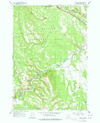
Other maps of this area

1953 · Pendleton
USGS Topo · 1:250,000

1956 · Pendleton
USGS Topo · 1:250,000

1963 · Meacham Lake
USGS Topo · 1:24,000

1963 · Hilgard
USGS Topo · 1:24,000

1964 · Mc Intyre Creek
USGS Topo · 1:24,000

1964 · Huron
USGS Topo · 1:24,000

1964 · Drumhill Ridge
USGS Topo · 1:24,000

1964 · Kamela SE
USGS Topo · 1:24,000

1965 · Marley Creek
USGS Topo · 1:24,000

1965 · Little Beaver Creek
USGS Topo · 1:24,000