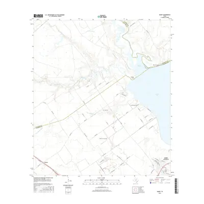
2016 Map of Kamey
USGS Topo · Published 2016About this map
Port Lavaca sits at the southern edge of this coastal survey, where the town's grid meets the marshy transitions of Linn Bayou and Lavaca Bay. The landscape is defined by the convergence of several waterways into Garcitas Cove, including the meandering Placedo Creek and Garcitas Creek, which form a complex network of wetlands and inlets. The area reflects a mix of agricultural utility and aviation, with both the Calhoun County Airport and the smaller Sterling Airport serving the region.
Find a feature on this map
63 named features on this map. Tap any name to fly to it.
Don’t see what you’re looking for? This feature index may not catch every label — zoom into the map to look around manually.
Map Details
Editions of this 2016 Kamey Map
This is the sole edition of this map. No revisions or reprints were ever made.
Other maps of this area

1952 · Port Lavaca East
USGS Topo · 1:24,000

1952 · Point Comfort
USGS Topo · 1:24,000

1952 · Kamey
USGS Topo · 1:24,000

1952 · Port Lavaca West
USGS Topo · 1:24,000

1952 · La Salle
USGS Topo · 1:24,000

1952 · Marcado Creek
USGS Topo · 1:24,000

1952 · Placedo
USGS Topo · 1:24,000

1952 · Lolita
USGS Topo · 1:24,000

1952 · Green Lake
USGS Topo · 1:24,000

1953 · Beeville
USGS Topo · 1:250,000