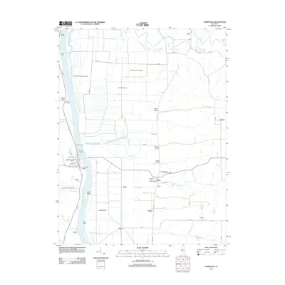
2012 Map of Kampsville
USGS Topo · Published 2012About this map
The Illinois River serves as the central artery for this region of Calhoun and Greene Counties, defining a landscape of low-lying river bottoms and sharp bluffs. In Kampsville, the terrain transitions abruptly from the riverbank at Kampsville Landing to the shaded relief of Kampsville Hollow. To the east, the village of Eldred sits at the base of the bluffs, where several hollows including Eldred Hollow and Bushnell Hollow cut into the higher ground.
Find a feature on this map
49 named features on this map. Tap any name to fly to it.
Don’t see what you’re looking for? This feature index may not catch every label — zoom into the map to look around manually.
Map Details
Editions of this 2012 Kampsville Map
This is the sole edition of this map. No revisions or reprints were ever made.
Other maps of this area

1924 · Roodhouse
USGS Topo · 1:62,500

1926 · Roodhouse
USGS Topo · 1:62,500

1930 · Pearl
USGS Topo · 1:62,500

1930 · Hardin
USGS Topo · 1:62,500

1930 · Jerseyville
USGS Topo · 1:62,500

1933 · Jerseyville
USGS Topo · 1:62,500

1934 · Hardin
USGS Topo · 1:62,500

1938 · Hardin
USGS Topo · 1:62,500

1948 · Quincy
USGS Topo · 1:250,000

1950 · Pearl
USGS Topo · 1:62,500