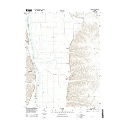
2015 Map of Kampsville
USGS Topo · Published 2015About this map
Kampsville sits at the western edge of this 2015 survey, where the Illinois River divides Calhoun and Greene counties. The landscape transitions sharply from the broad agricultural flats of the river valley to the complex ridges and hollows of the eastern bluffs. Local genealogy is well-documented through numerous burial sites such as Saint Anselm Cem, Farrow Cem, and the Eldred Memorial Gardens. The river itself is punctuated by Willow Island and Crater Island, while the eastern terrain is defined by deep incisions like Robley Hollow and Shaffer Hollow. Large agricultural operations including Fairbanks Ranch and Cooke Ranch occupy the lowlands, connected by the north-south corridor of Eldred-Hillview road. This map captures a modern view of these long-established river towns and their surrounding bluff-and-bottomland geography.
Find a feature on this map
44 named features on this map. Tap any name to fly to it.
Don’t see what you’re looking for? This feature index may not catch every label — zoom into the map to look around manually.
Map Details
Editions of this 2015 Kampsville Map
This is the sole edition of this map. No revisions or reprints were ever made.
Other maps of this area

1924 · Roodhouse
USGS Topo · 1:62,500

1926 · Roodhouse
USGS Topo · 1:62,500

1930 · Pearl
USGS Topo · 1:62,500

1930 · Hardin
USGS Topo · 1:62,500

1930 · Jerseyville
USGS Topo · 1:62,500

1933 · Jerseyville
USGS Topo · 1:62,500

1934 · Hardin
USGS Topo · 1:62,500

1938 · Hardin
USGS Topo · 1:62,500

1948 · Quincy
USGS Topo · 1:250,000

1950 · Pearl
USGS Topo · 1:62,500